Geography

Year 5: Map Skills - January 2024
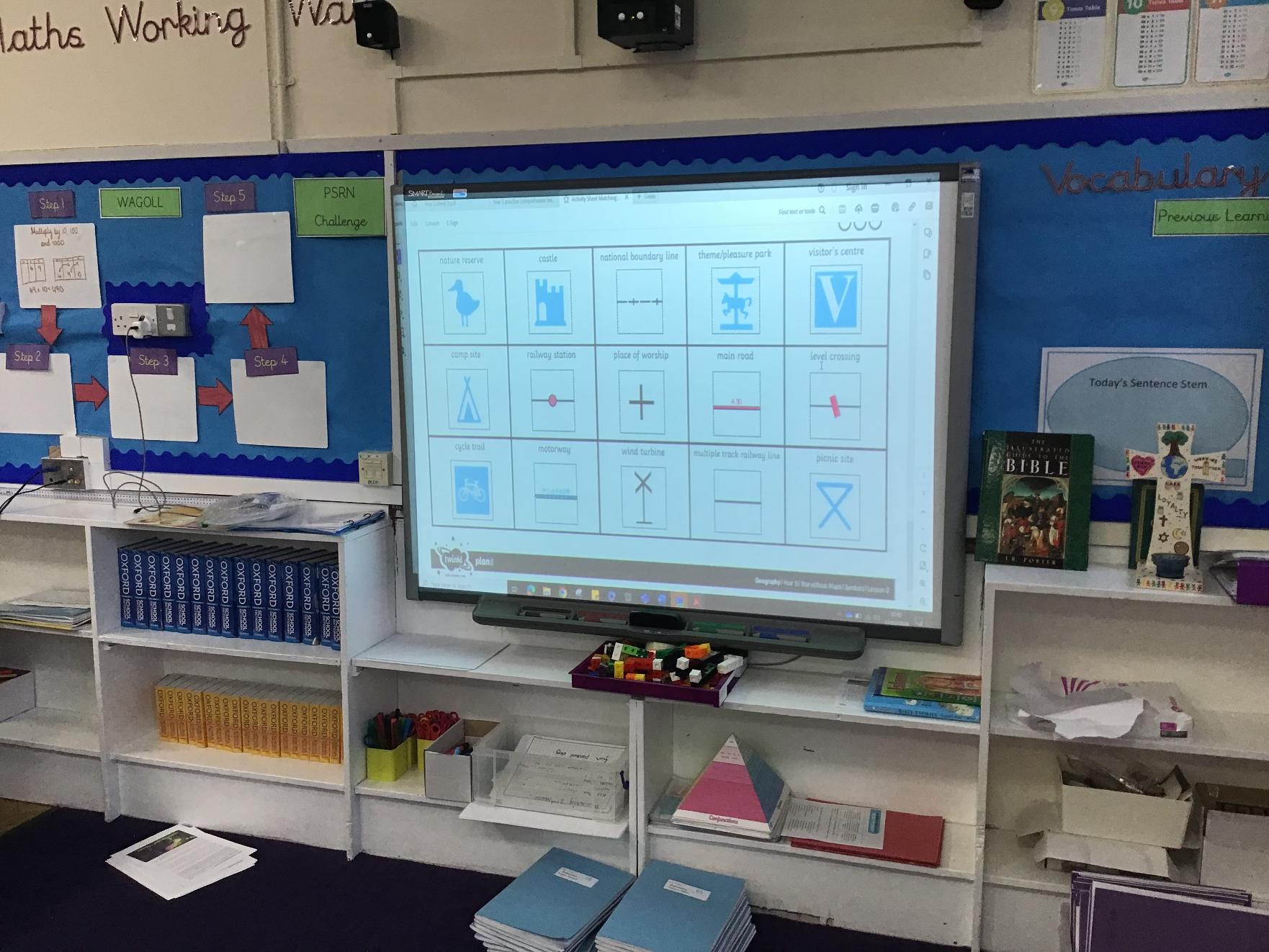
Marvellous Maps - creating and understanding OS symbols.

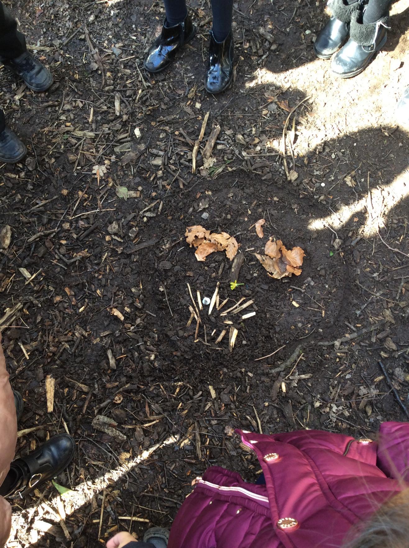
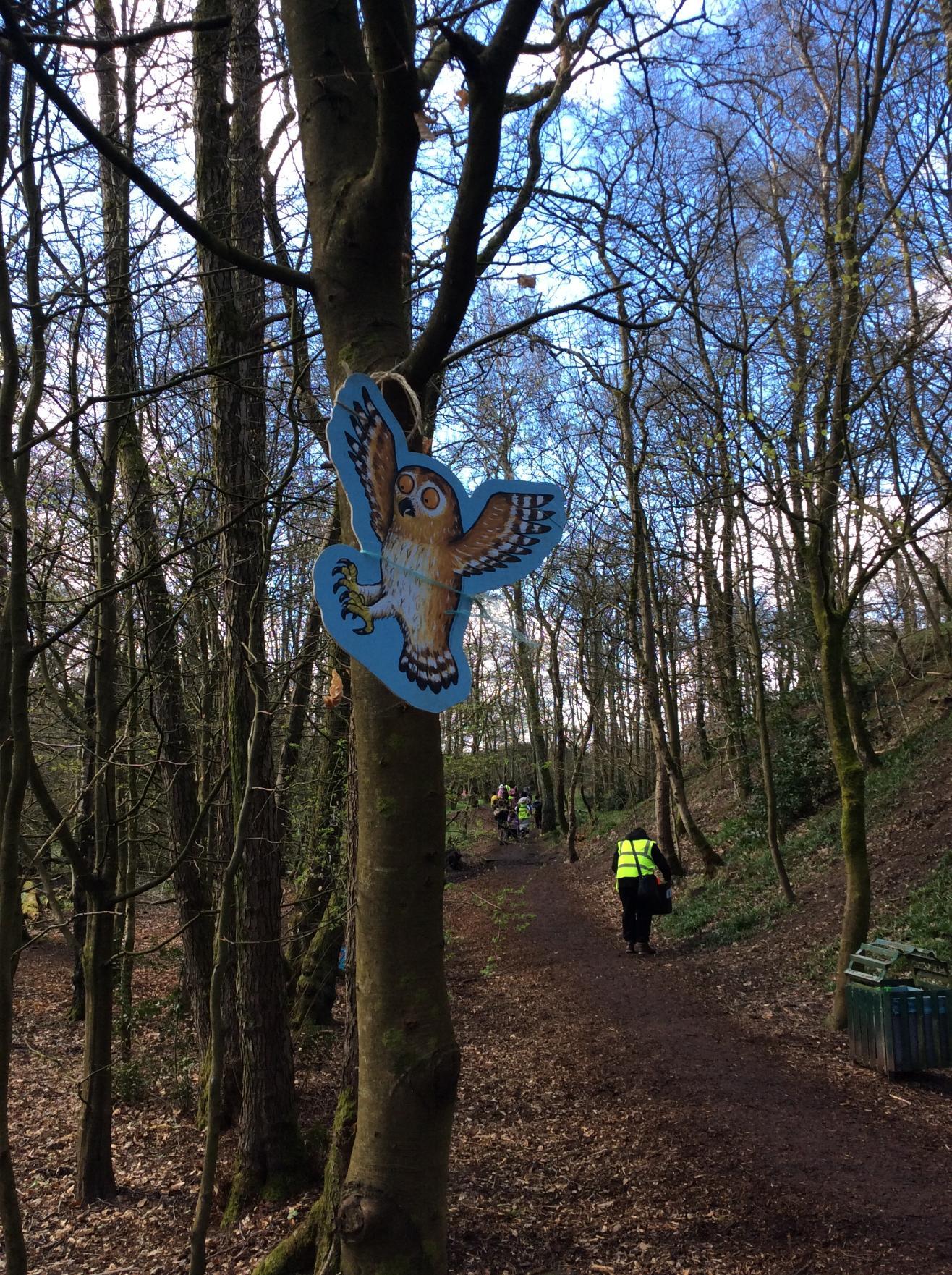
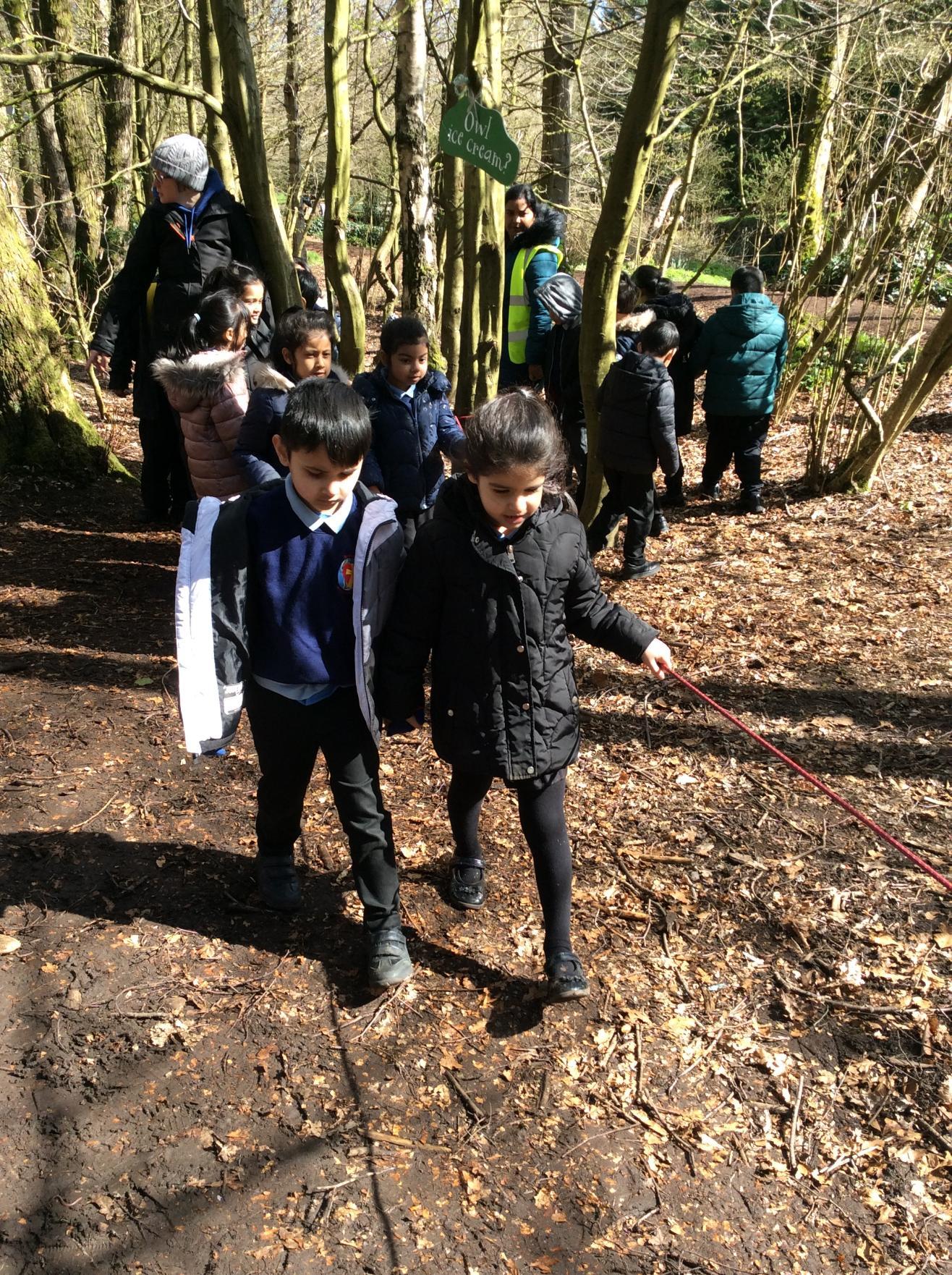
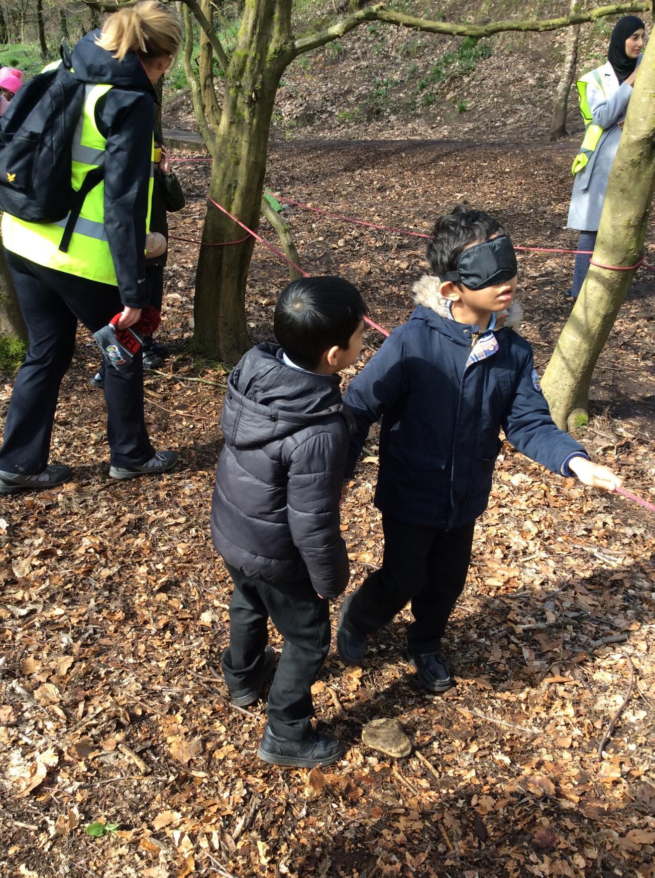
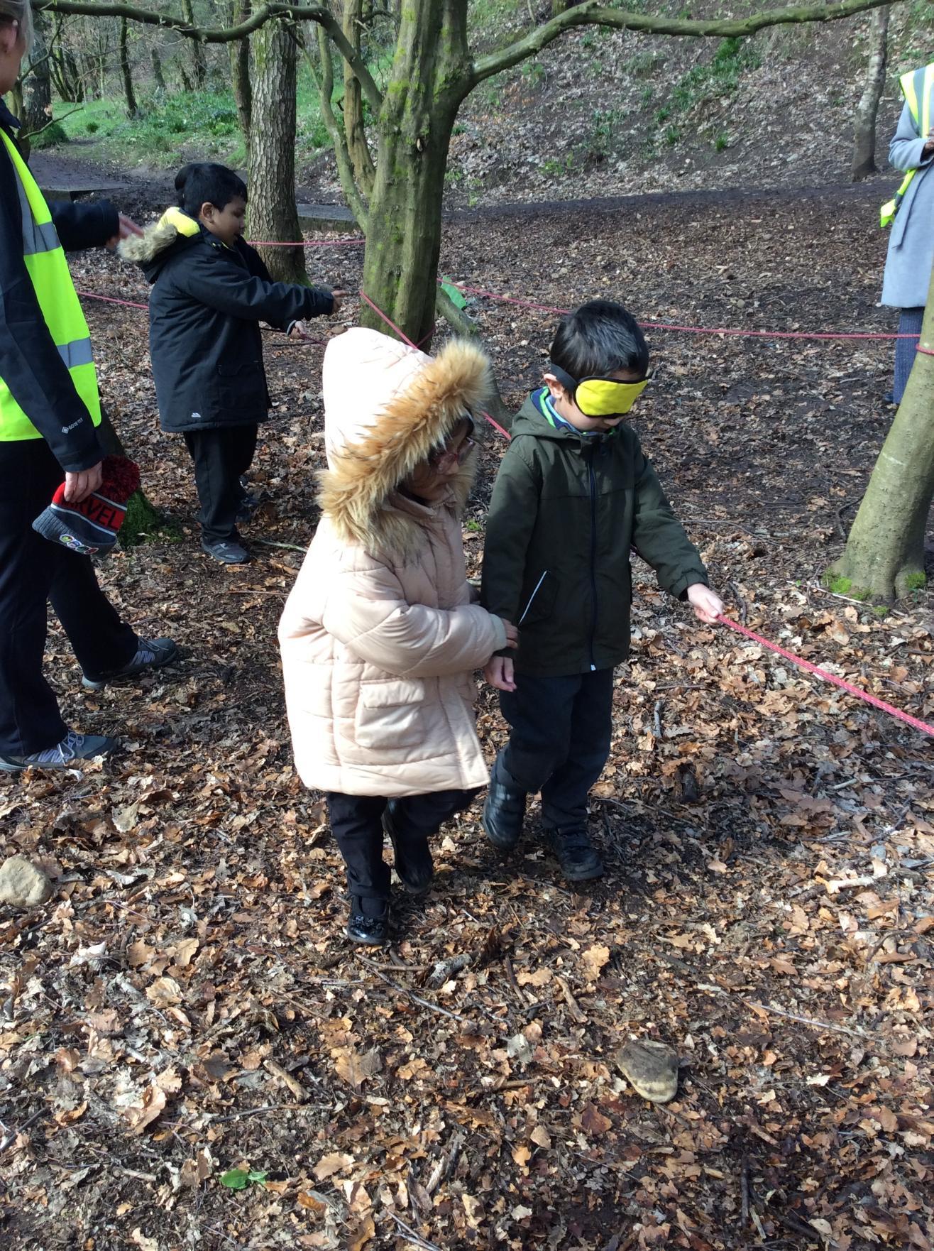
Year 1: Gruffalo Hunt - April 2024
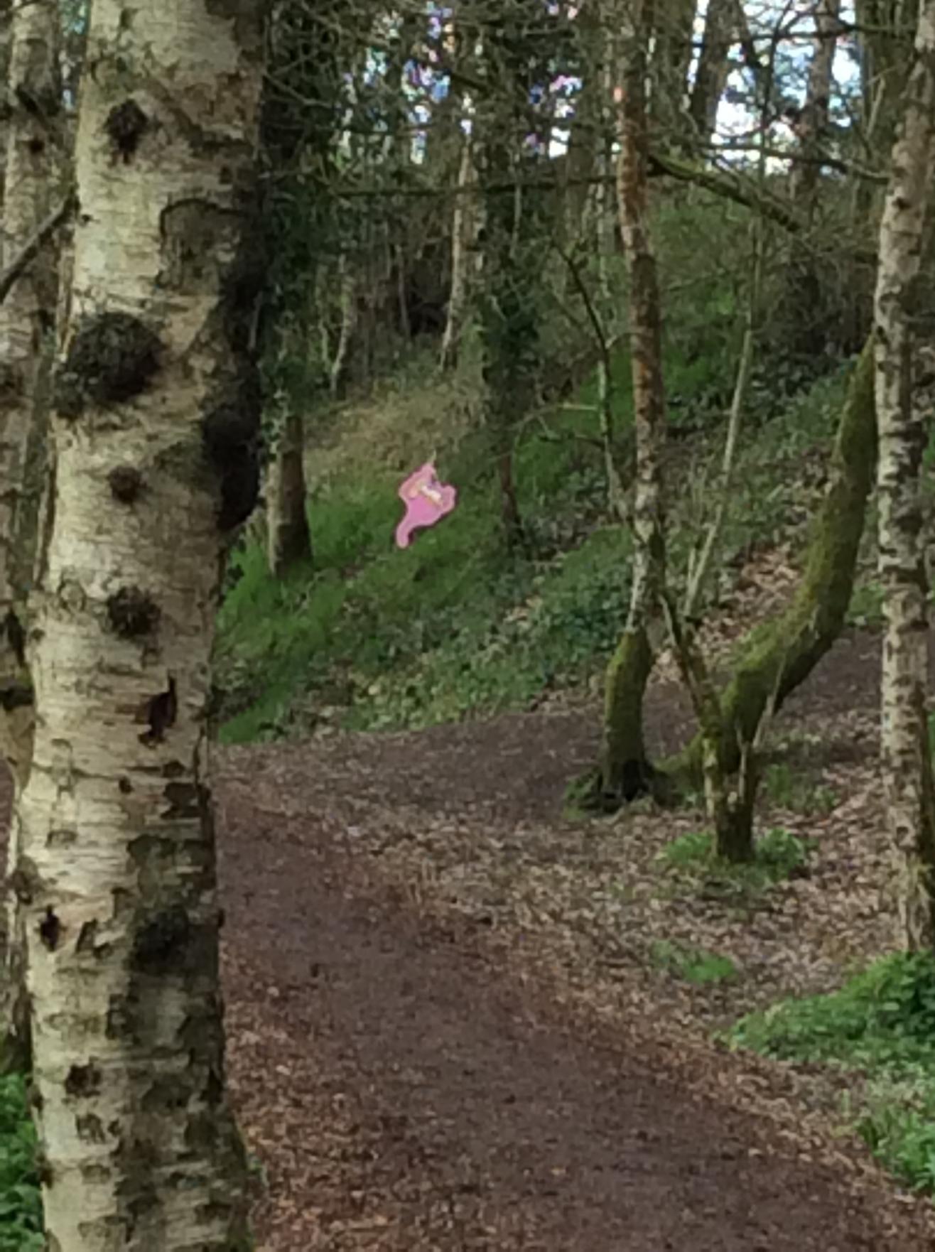
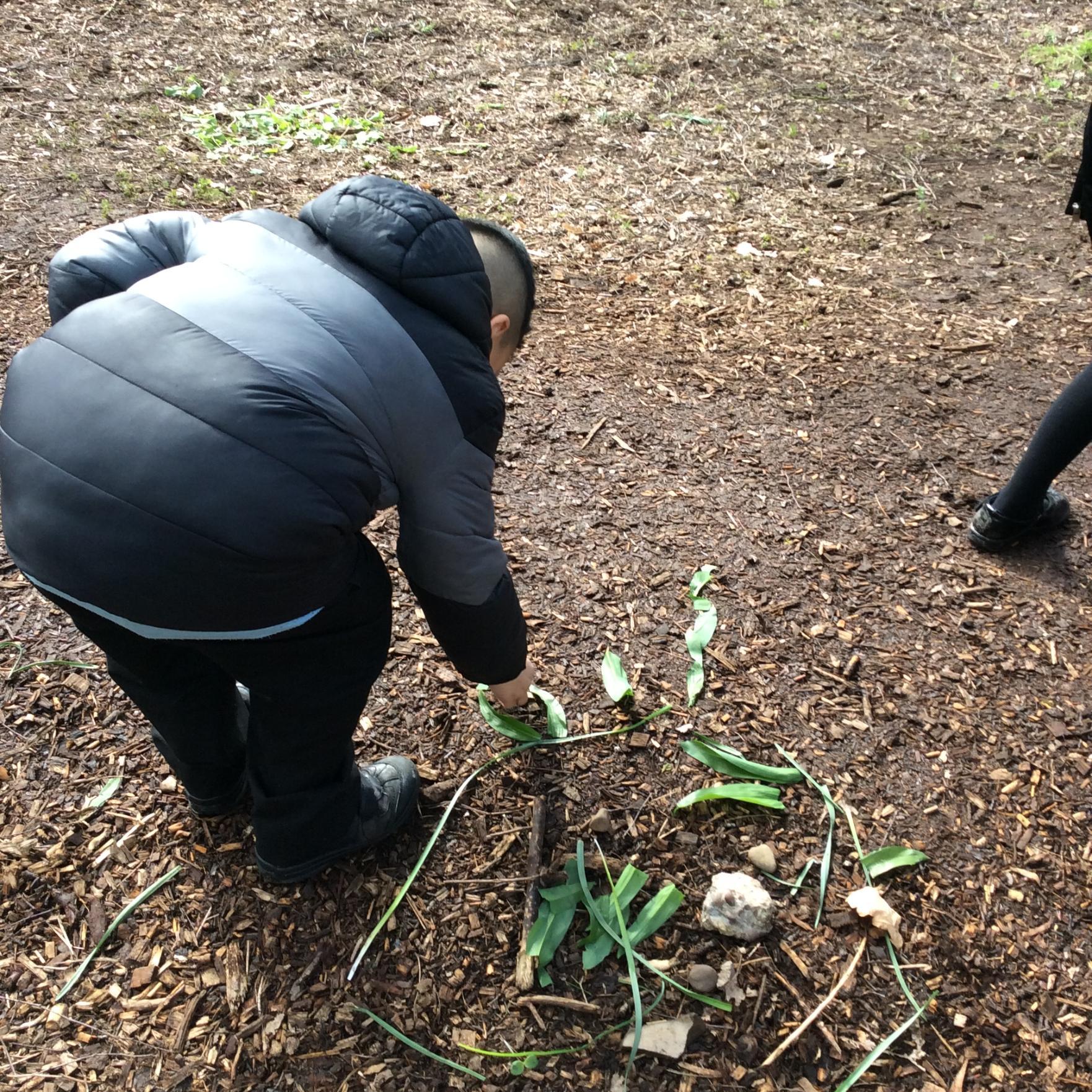
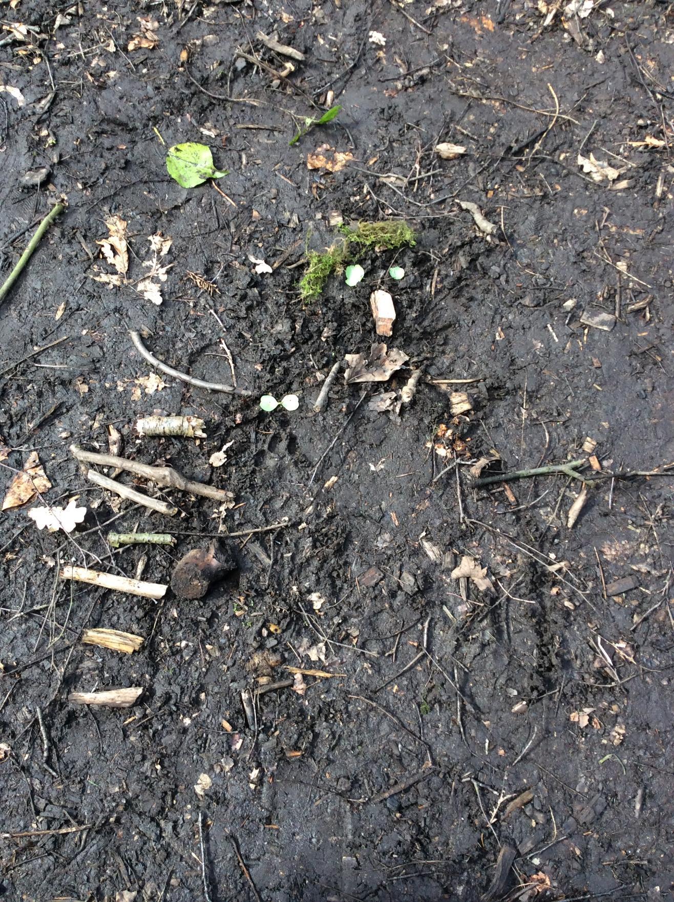
The children enjoyed the experience of trying to find the Gruffalo at Chadderton Park. Did they find the Gruffalo?
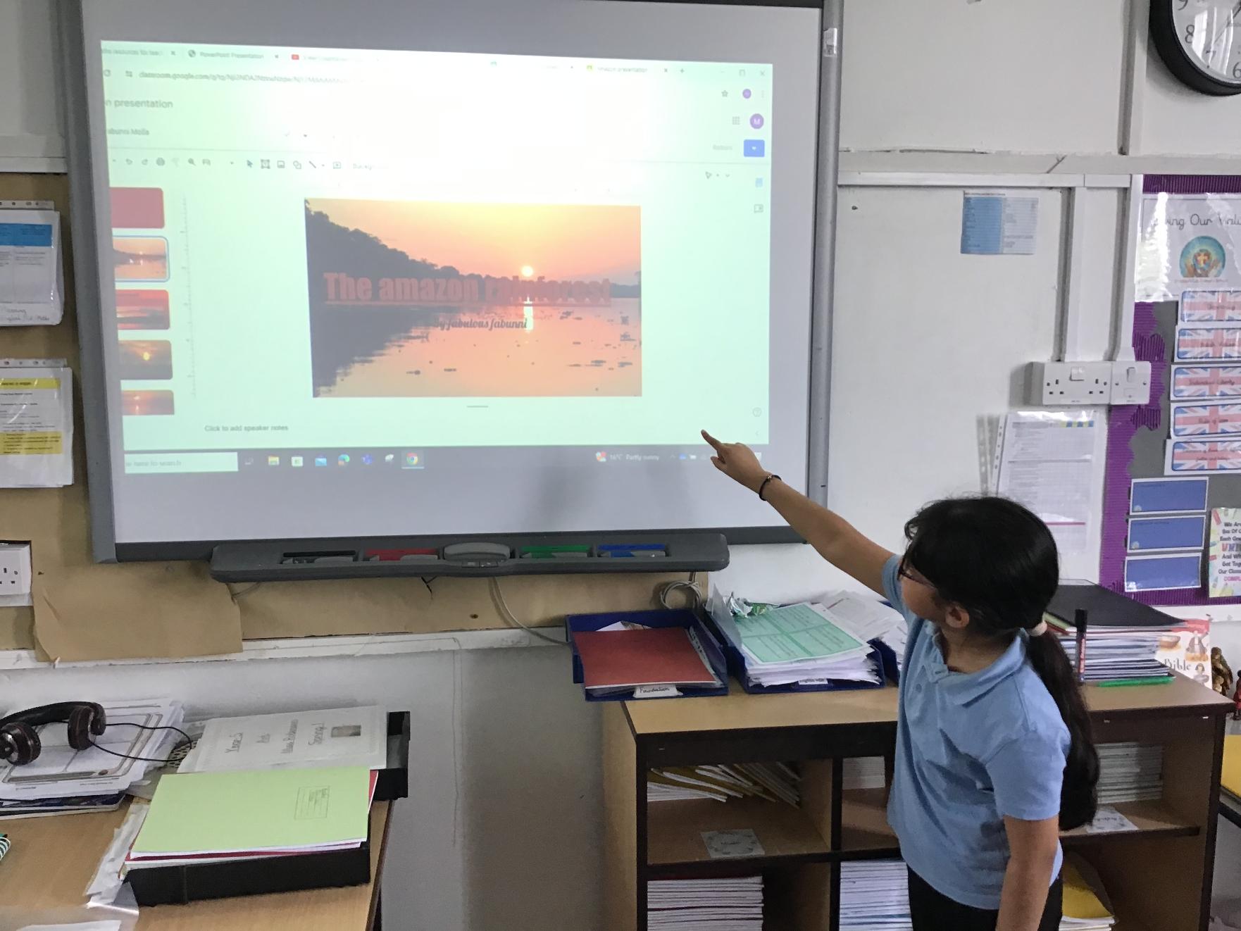
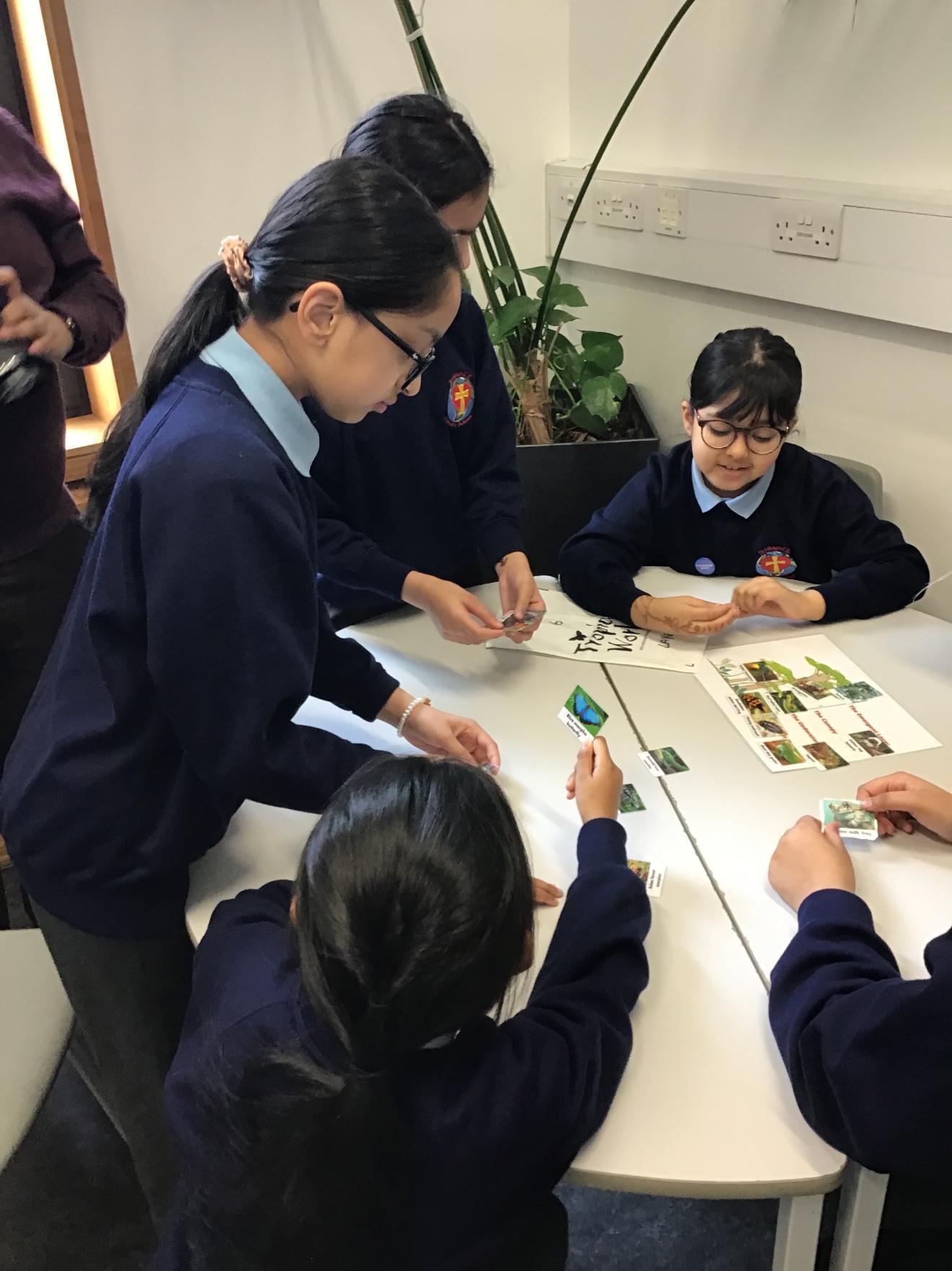
Year 5: Rainforest Presentations - April 2024
We have been learning about rainforests and sharing what we have learned by making powerpoint presentations.
![IMG_1498[1]](/_images/1848788_l.jpg)
![IMG_1499[1]](/_images/1848791_l.jpg)
![IMG_1500[1]](/_images/1848794_l.jpg)
Year 6: The Vikings - May 2024
Year 6 have been learning about the Vikings, where they came from and why they settled. The children used their geographical skills to help identify the countries where the Vikings settled.
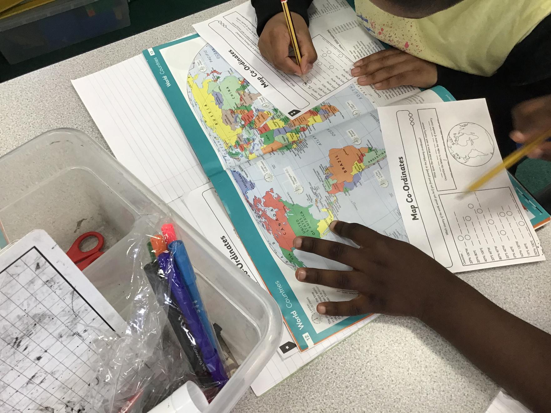
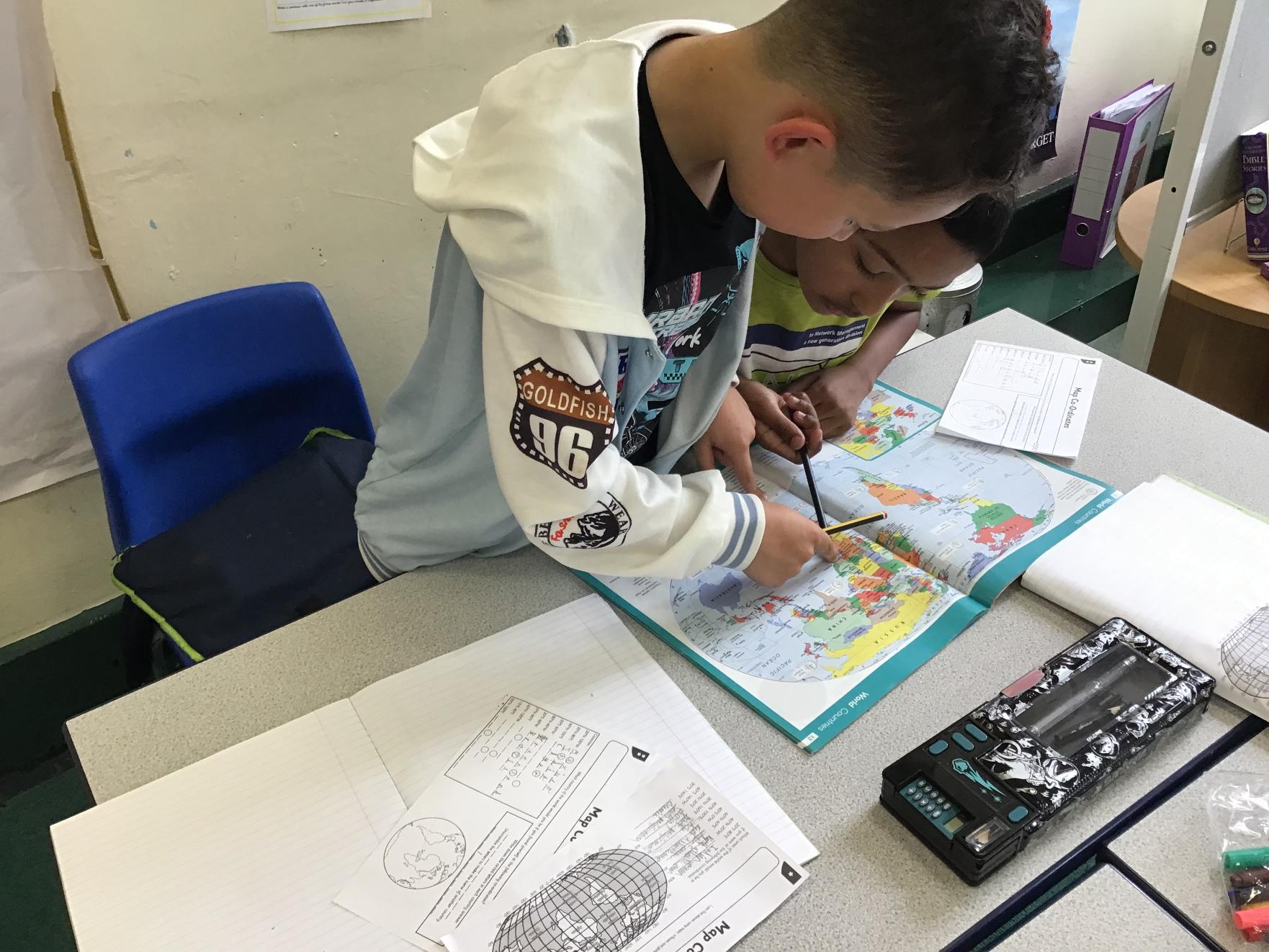
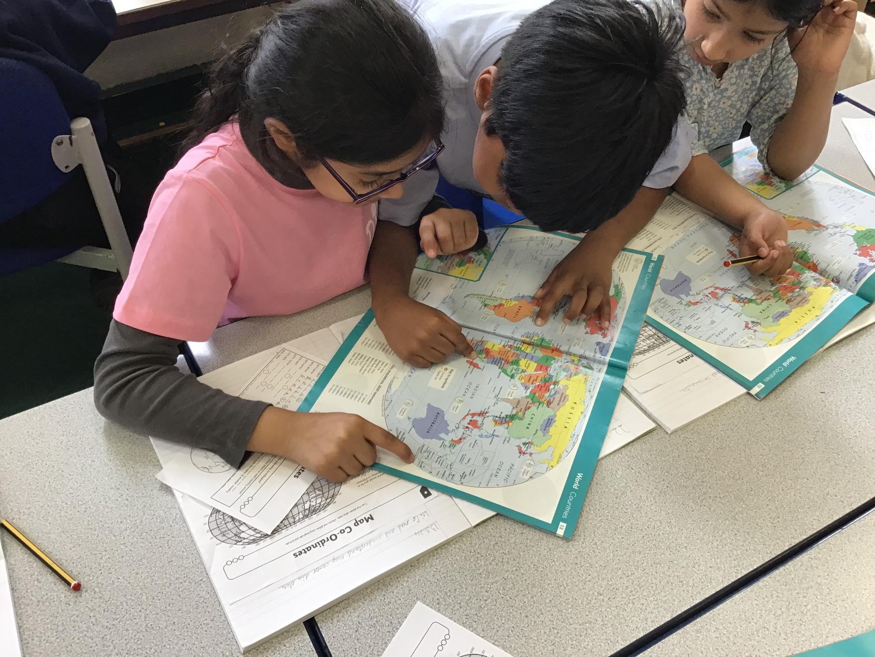
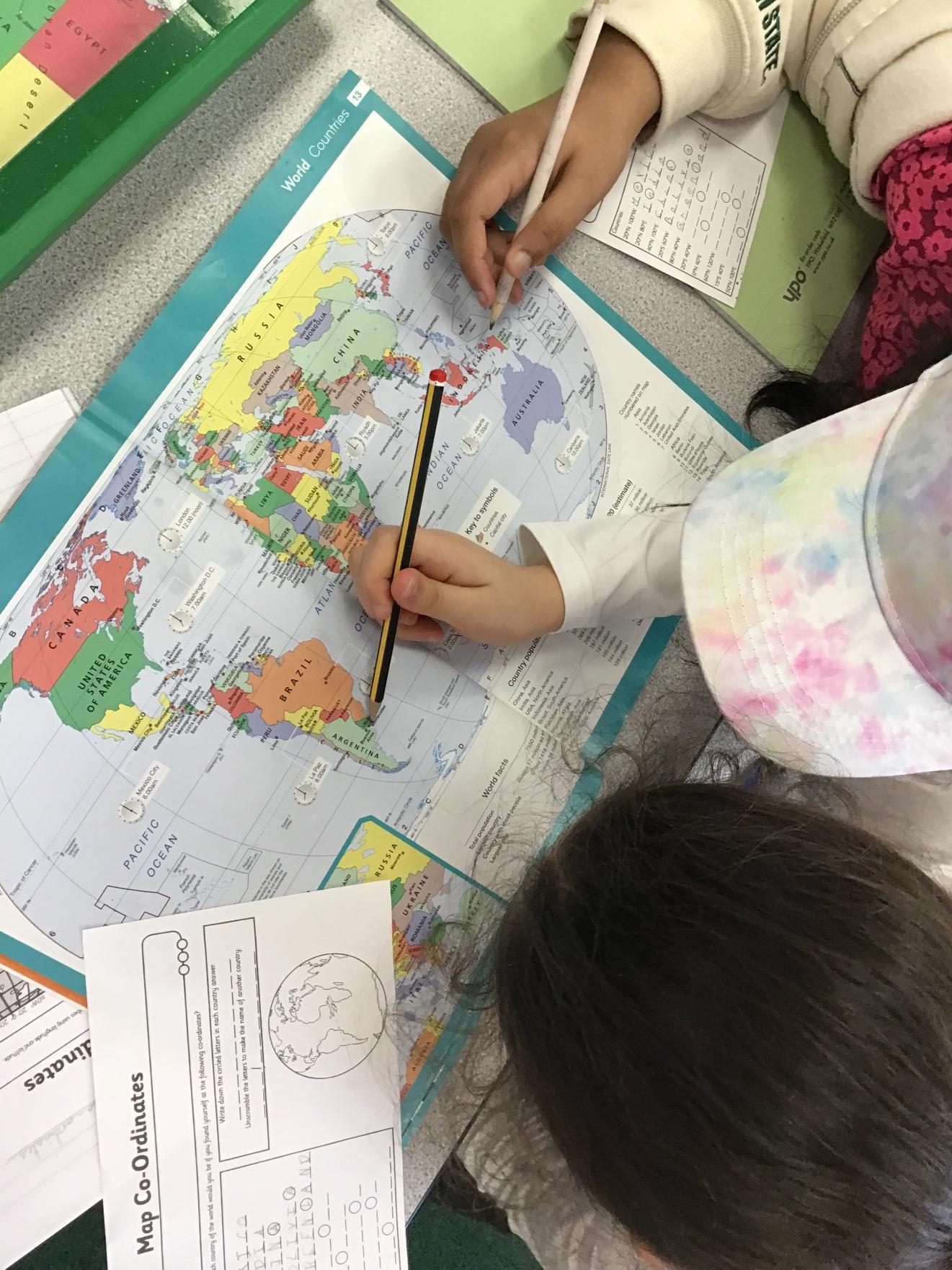
Year 4: Map Skills - May 2024
We used an atlas to find map coordinates.
![IMG_1518[1]](/_images/1855787_l.jpg)
![IMG_1520[1]](/_images/1855766_l.jpg)
![IMG_1521[1]](/_images/1855769_l.jpg)
![IMG_1522[1]](/_images/1855772_l.jpg)
![IMG_1523[1]](/_images/1855775_l.jpg)
![IMG_1524[1]](/_images/1855778_l.jpg)
![IMG_1516[1]](/_images/1855781_l.jpg)
![IMG_1517[1]](/_images/1855784_l.jpg)
![IMG_1519[1]](/_images/1855790_l.jpg)
Year 6: Flooding in Bangladesh - June 2024
Year 6 have been deepening their knowledge of Bangladesh. Many of our children are fortunate enough to have visited this wonderful country, but they do not realise the destruction that can be caused in the monsoon season. We have studied Bangladesh as a country: the culture; the delicious food; the beautiful scenery; and, of course, the scorching sun. However, the weather in Bangladesh can take a drastic turn, causing floods to devastate the country on a regular basis. We developed case study examples of some of the most devastating floods in the history of Bangladesh.
Year 6: Climate Change - September 2024
The children have been studying Climate Change and how this impacts on our lives today. As part of this, the children conducted research into what Climate Change is and how it is changing the world as we know it.
![IMG_3166[1]](/_images/1914091_l.jpg)
![IMG_3167[1]](/_images/1914094_l.jpg)
![IMG_3168[1]](/_images/1914097_l.jpg)
![IMG_3169[1]](/_images/1914100_l.jpg)
Year 6: Carbon Footprint - October 2024
The children have studied the implications of having too much carbon in our atmosphere. We discussed how our daily choices can increase our carbon footprint. The children then used this knowledge to suggest ways that they could reduce their own carbon footprint.
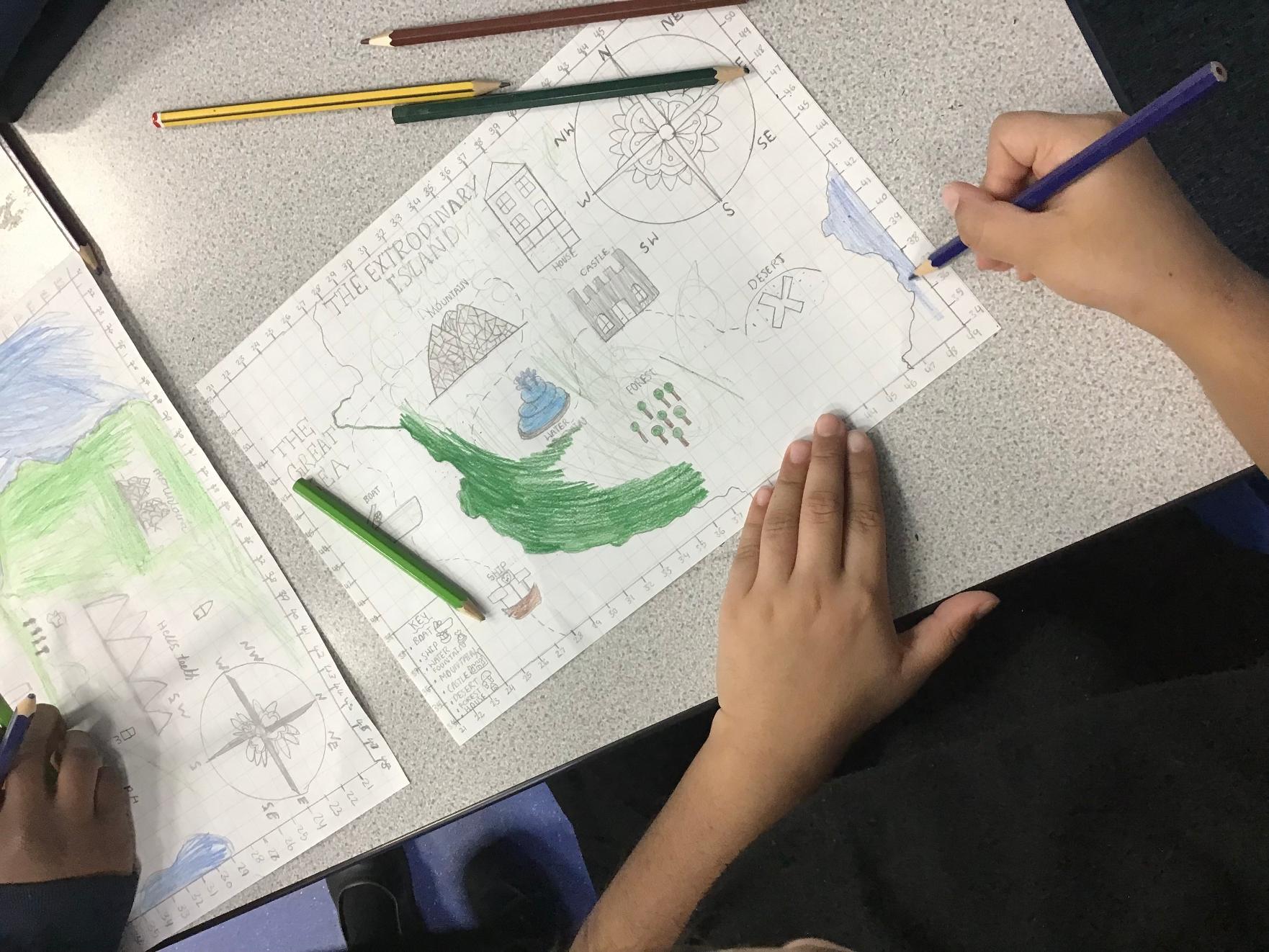
Year 5: Treasure Maps - January 2025
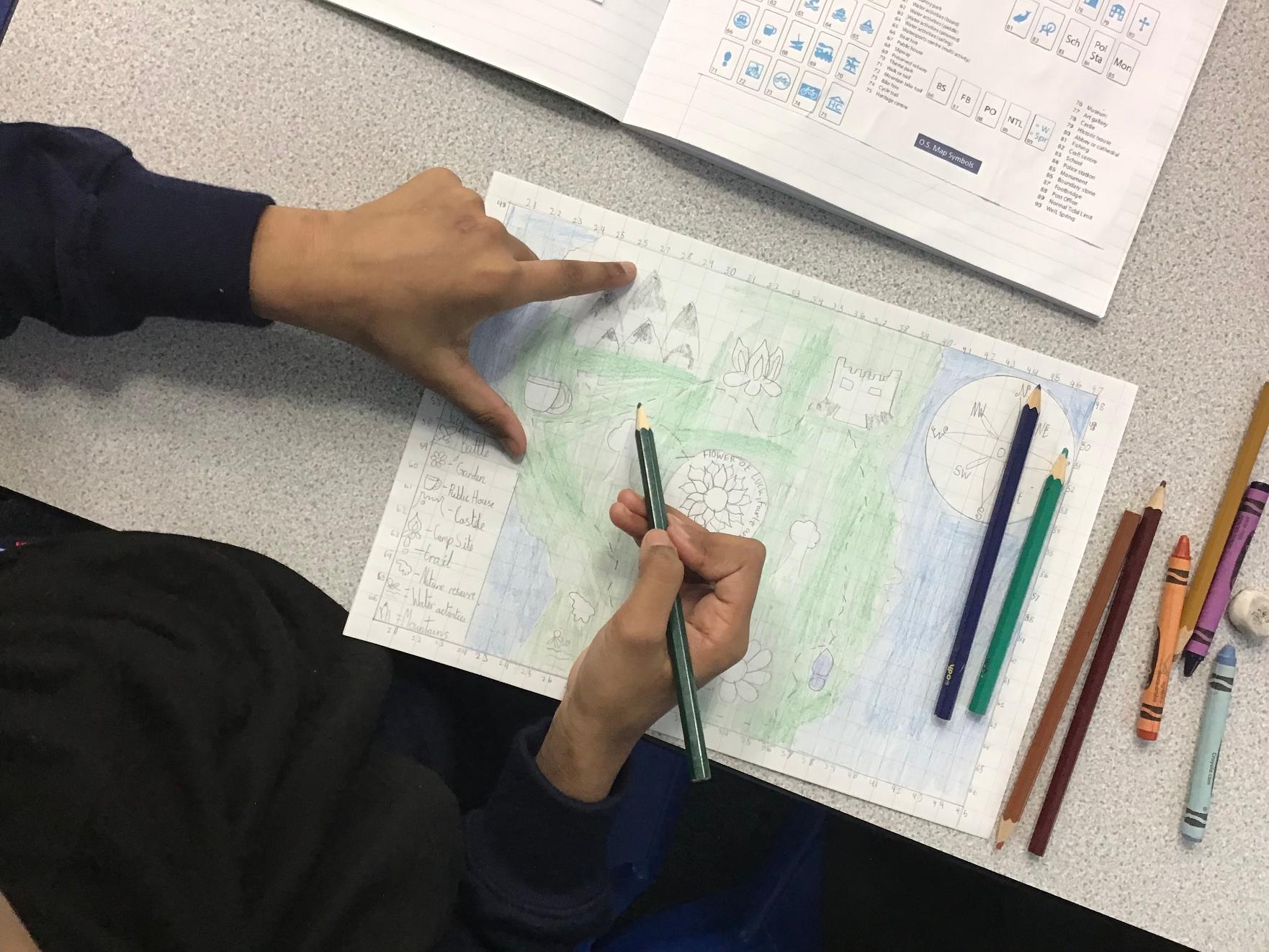
X marks the spot! Oak and Pine class created their own treasure maps using their knowledge of maps, they included compass points and map symbols. Their creativity is golden!




![IMG_0095[1]](/_images/1970895_l.jpg)
![IMG_0094[1]](/_images/1970901_l.jpg)
Year 3: Brazil - February 2025
As part of Geography lessons, year 3 have explored Brazil. We were able to identify and name the countries within South America. In particular, we focused on what life is like in Brazil and some of the features compared to the UK. The children were able to enhance their knowledge of the Amazon rainforest from their English lessons. We discovered the countries the Amazon flows through, plants and animals that live there and other fun facts. Did you know? Brazil is the largest country in South America!
Year 4: Land Use - March 2025
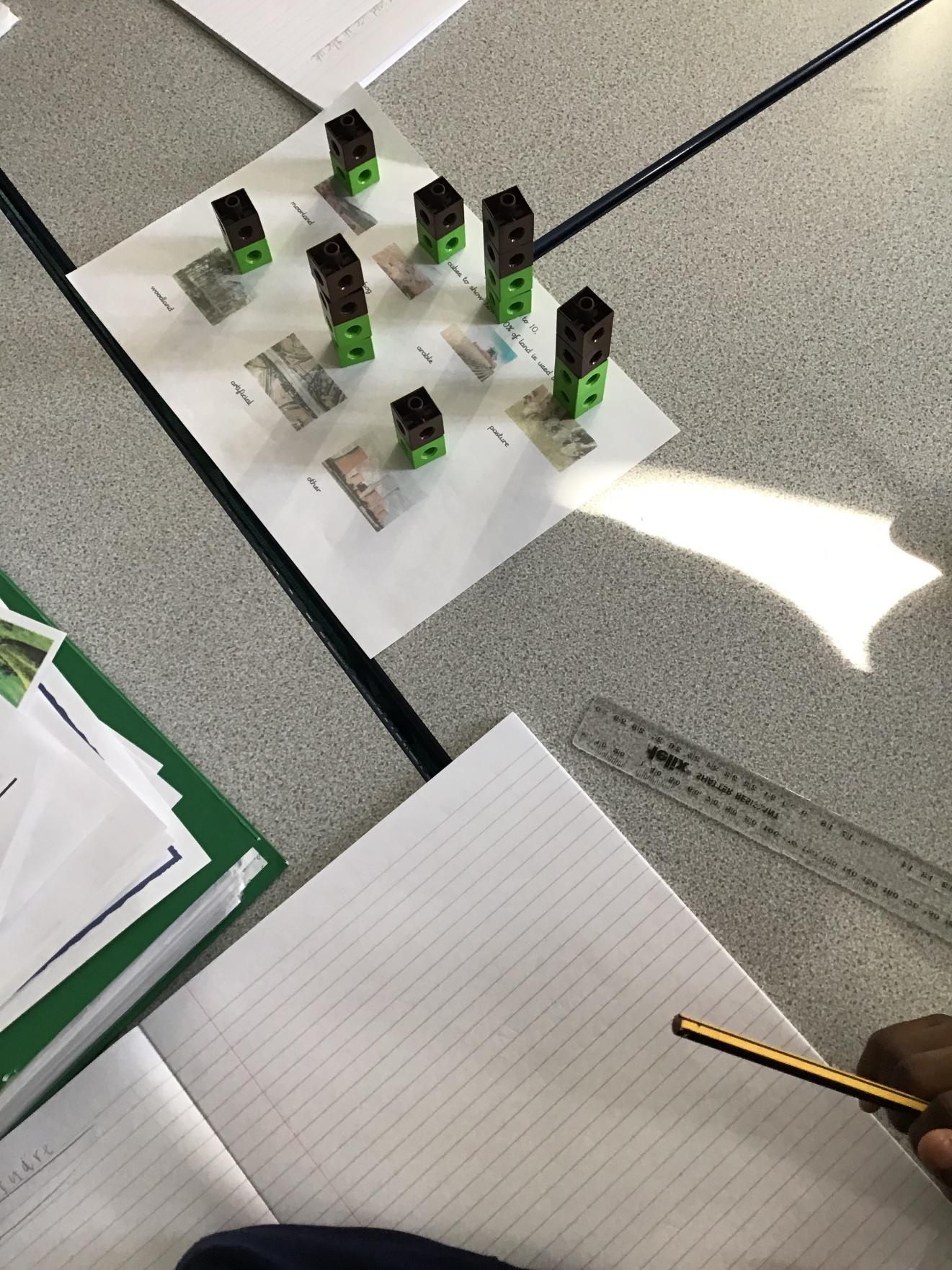
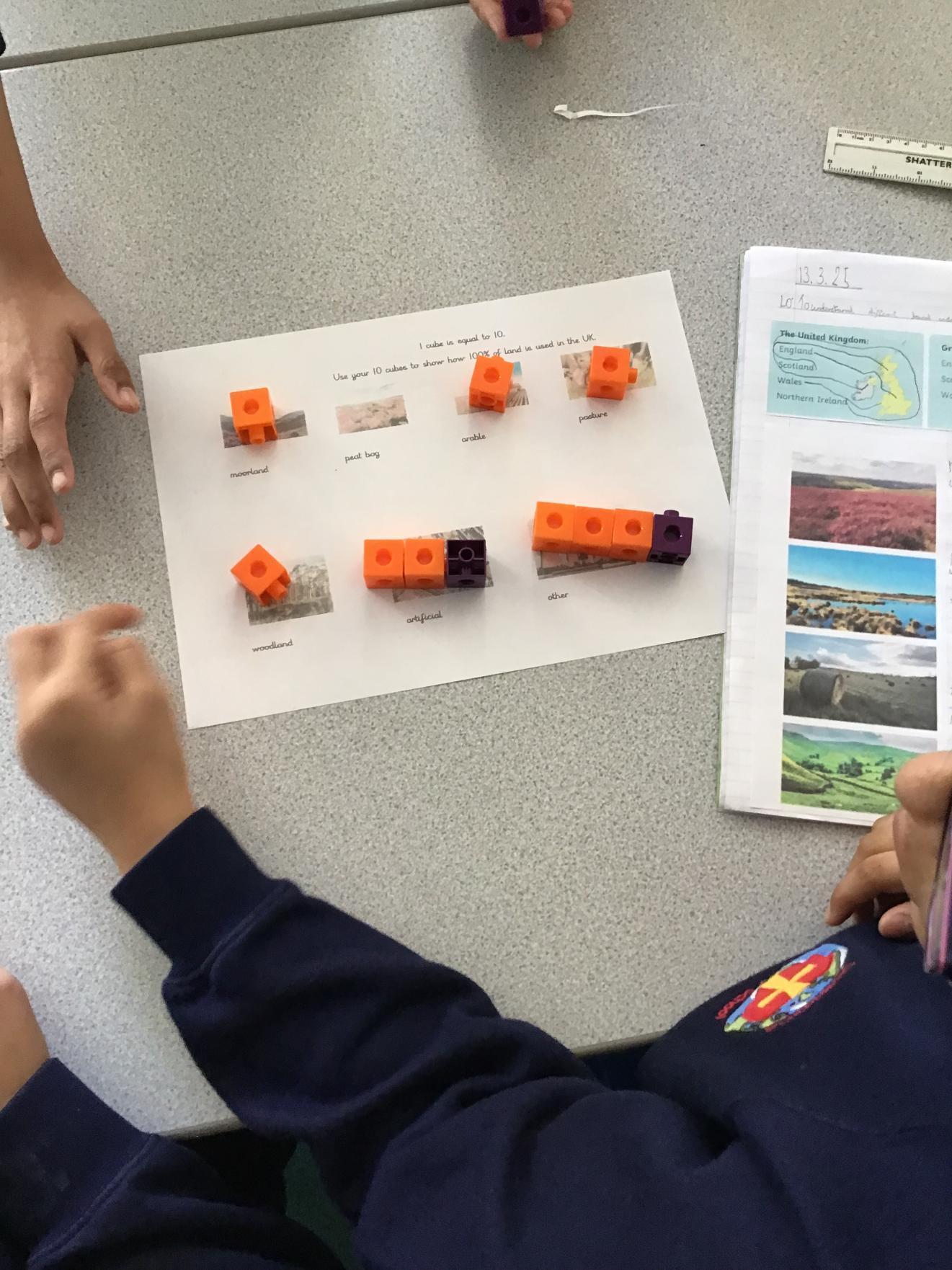
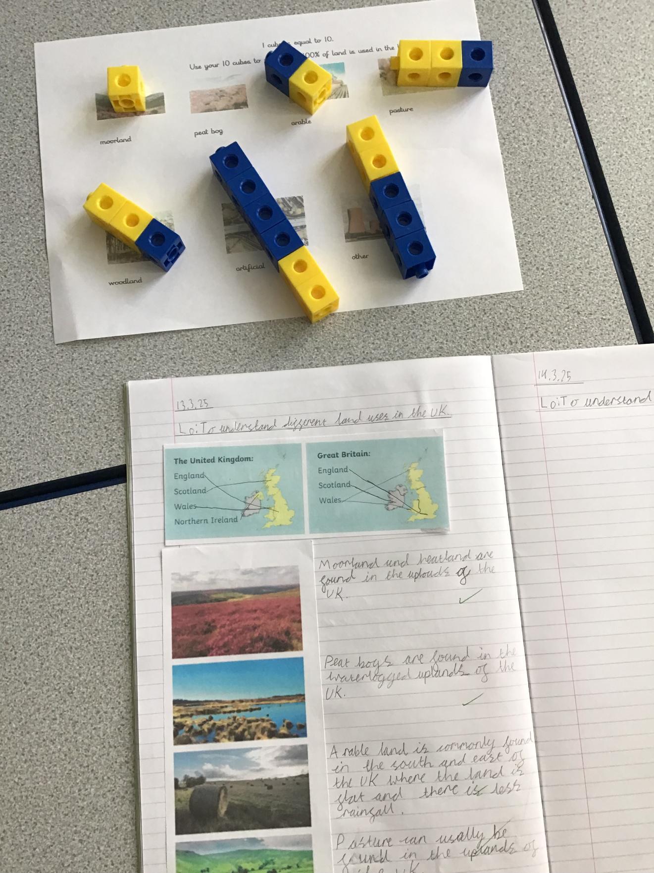
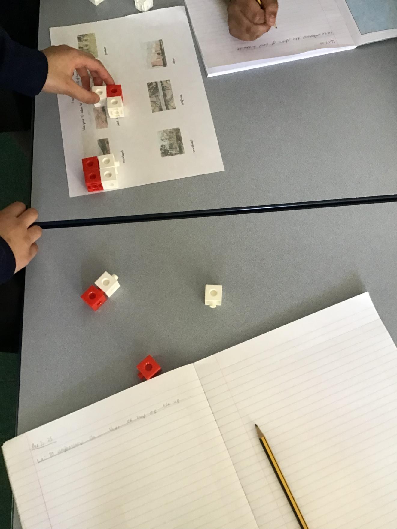
Cherry class investigating land use in the UK. We were amazed to discover that most land is used for agriculture! We thought it would be artificial land use.


Year 3: Orienteering at Alexandra Park - June 2025
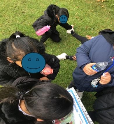
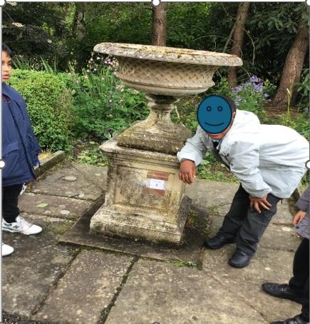
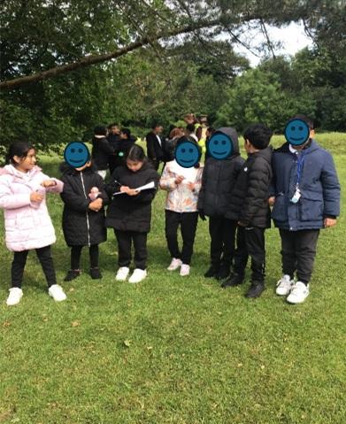
Year 3 Maple and Elm class went orienteering at Alexandra Park on Tuesday 3rd June. We had to use our map reading skills to locate clue cards. We had to find 20 in total ! All of us had a fantastic time!
Year 3: Castleshaw Trip - June 2025
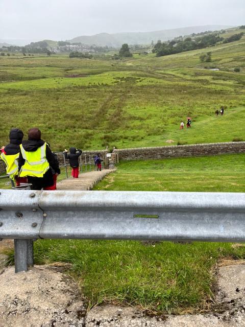
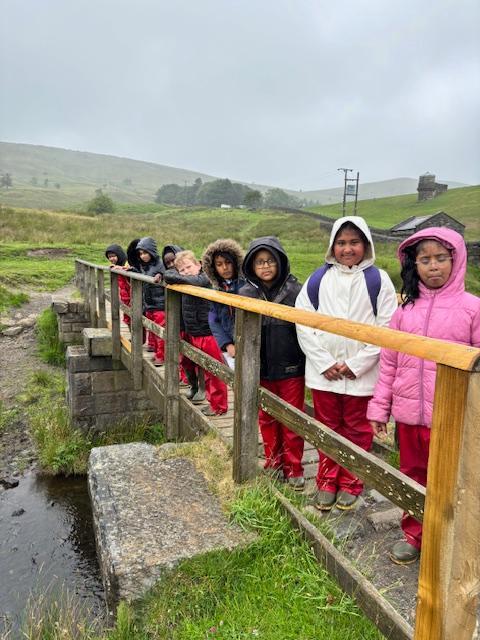
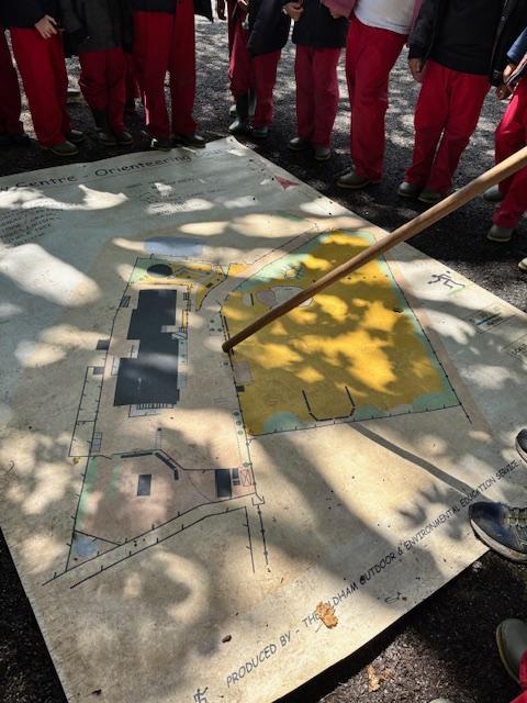
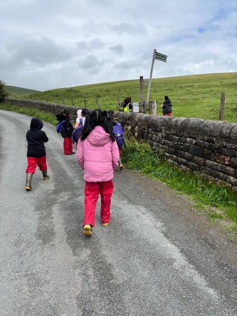
Elm Class went on a trip to the Castleshaw Centre. The aim of the trip was to build upon their team work and Orienteering skills. The children thoroughly enjoyed working in groups and pairs to solve problems involving map work. They made good use of and built upon their communication, active listening, conflict resolution, and collaboration skills to successfully complete the tasks set.

Year 5: Treasure Maps - January 2026
Pine class have made treasure maps in Geography to assess their learning of our maps topic. We spent a whole day producing them and we had a lot of fun whilst demonstrating many map skills.
![IMG_3877[1]](/_images/2104881_l.jpg)
![IMG_3878[1]](/_images/2104884_l.jpg)
![IMG_3875[1]](/_images/2104887_l.jpg)
![IMG_3876[1]](/_images/2104890_l.jpg)
Year 3: Land Use - March 2026
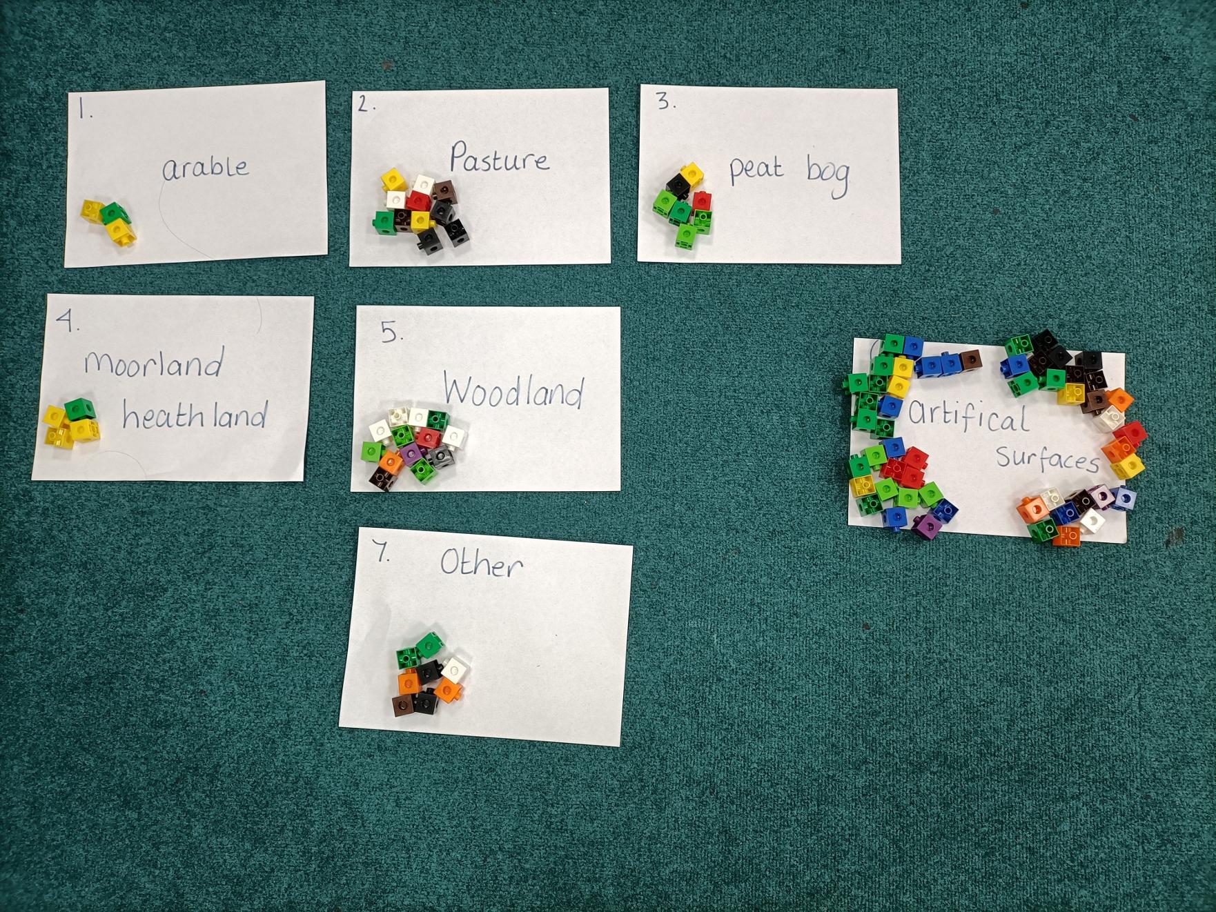
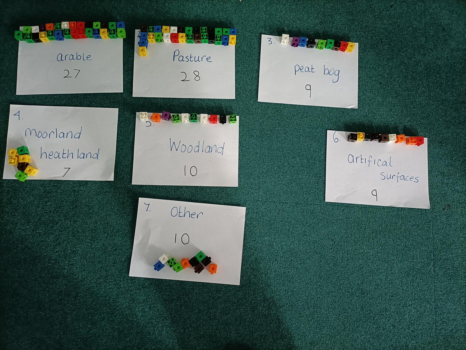
We used 100 cubes to represent how we guessed land was used across the UK. The children guessed that most of the land was used for artificial surfaces ( houses, roads, hospitals, schools, etc). We then used our cubes to show how land is actually used and found out that most of the land is used for pasture and farming food. We found 55% of the land is for food production.

Year 4: Rivers - February 2026
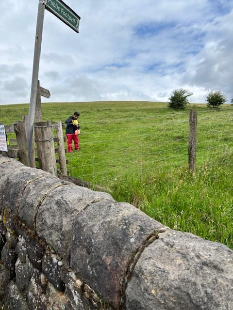
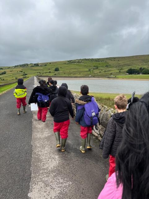
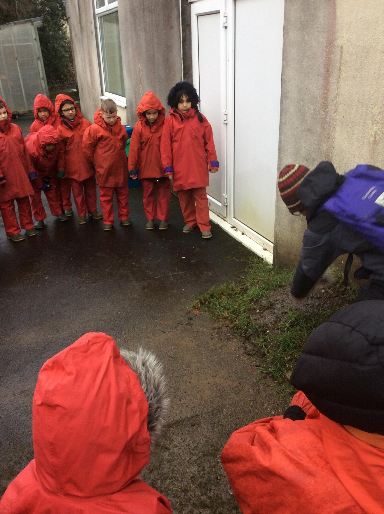
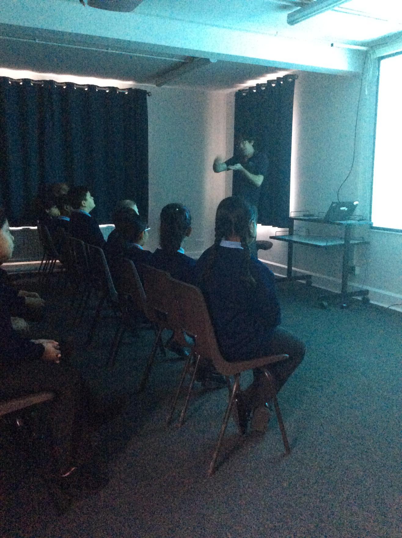
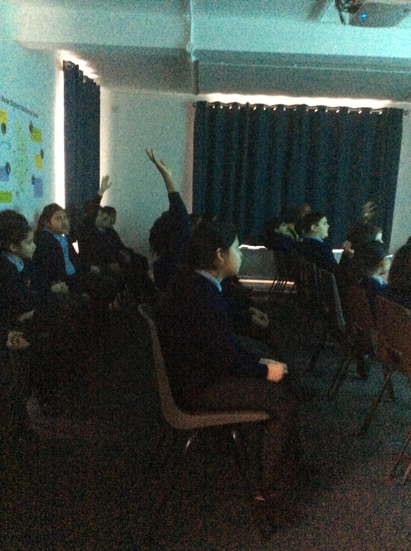
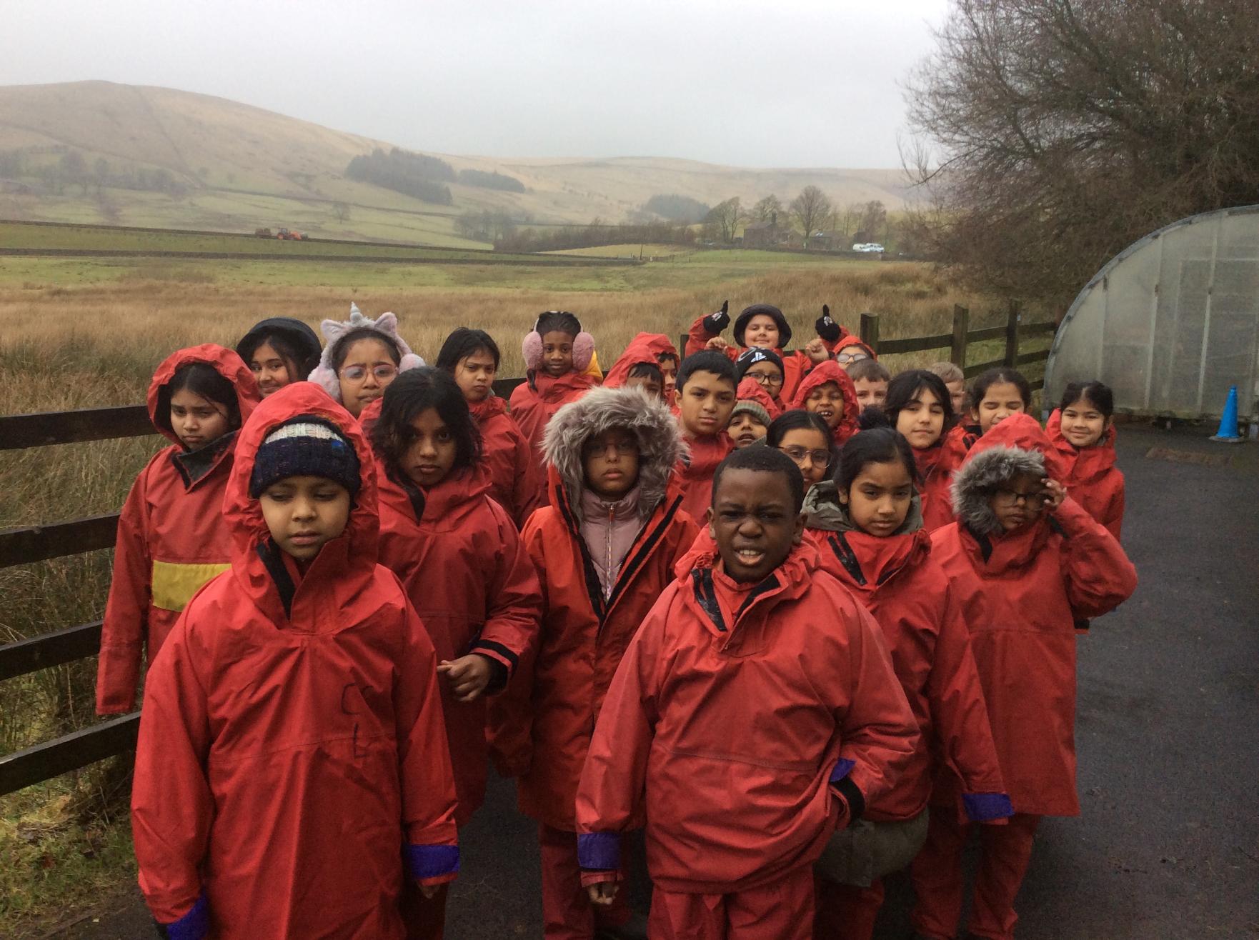
Children enjoyed an exciting trip to Castleshaw Centre, where they learned all about rivers and their features. They explored the local area, identified key river features, and even had the opportunity to walk in the river, bringing their learning to life through hands-on experience.
Year 4: Around the World - February 2026
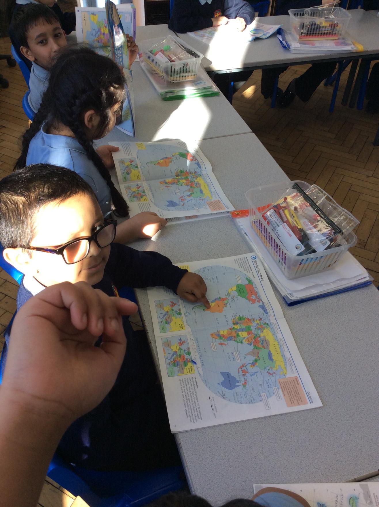
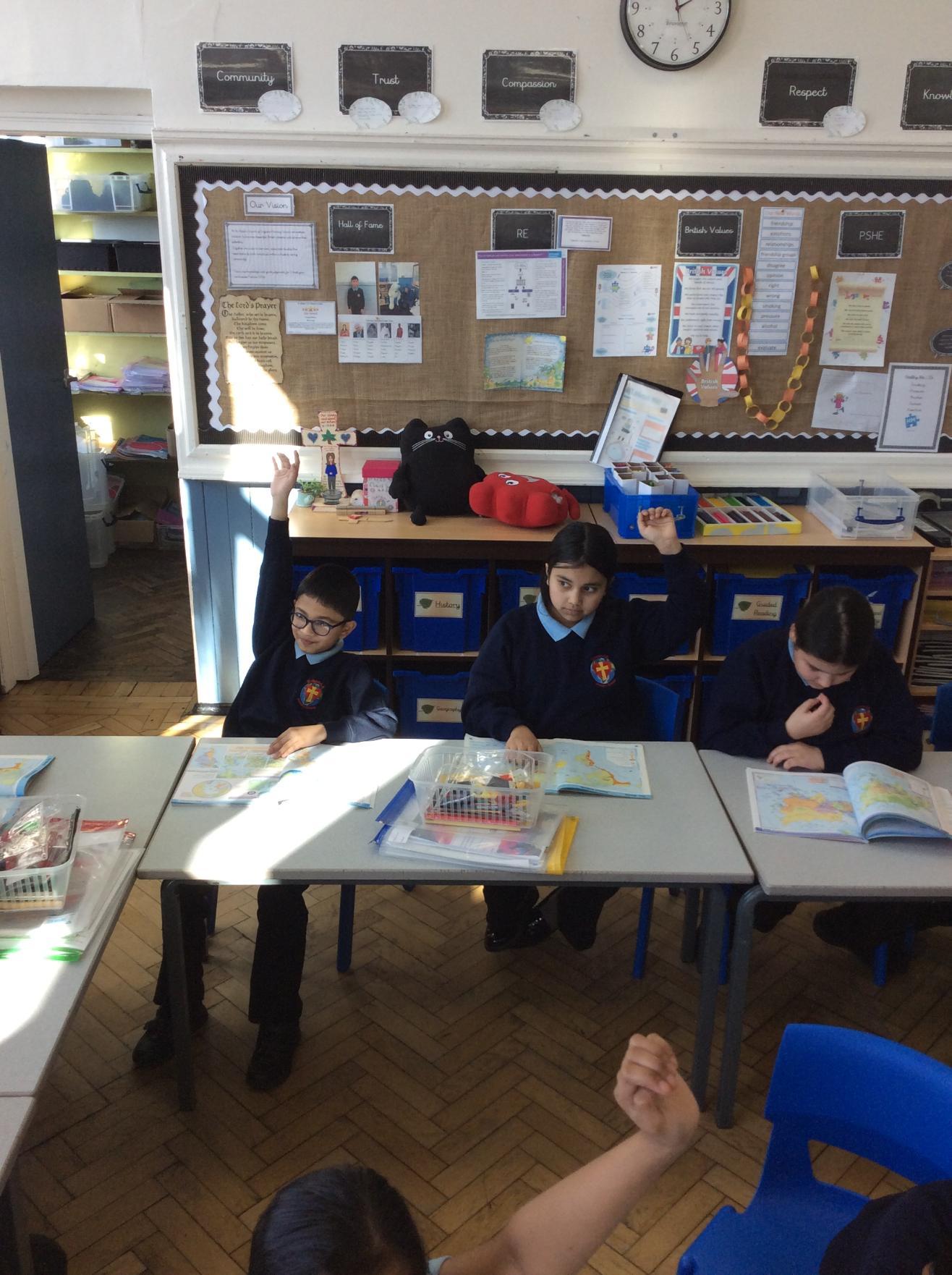
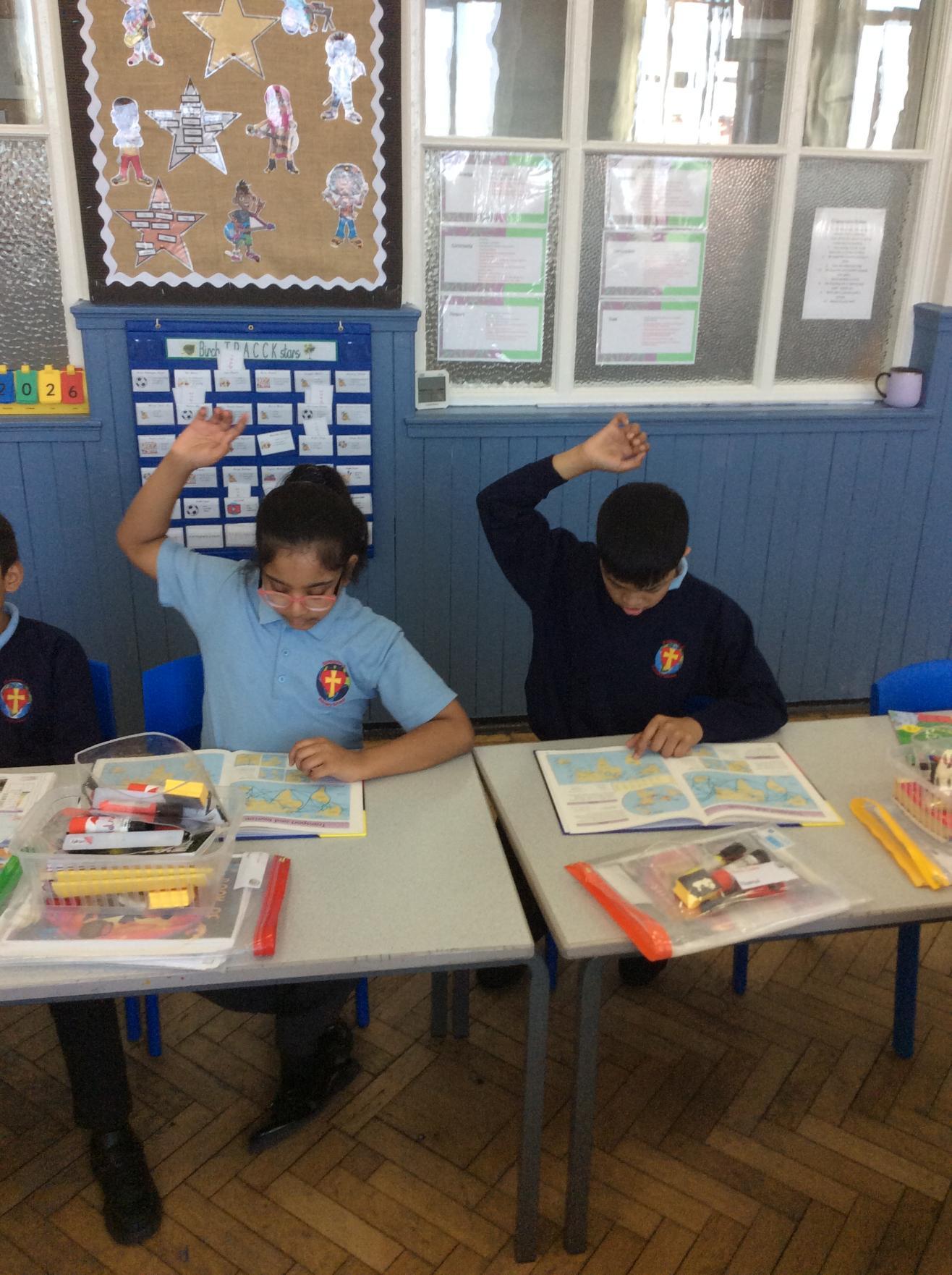
Children have been developing their geography skills by using atlases to locate places around the world, identifying continents, oceans, and different regions with confidence and curiosity.

![IMG_4071[1]](/_images/2152679_l.jpg)
![IMG_4072[1]](/_images/2152682_l.jpg)
![IMG_4073[1]](/_images/2152685_l.jpg)
![IMG_4070[1]](/_images/2152688_l.jpg)
Year 6: Layers of the Earth - April 2026
This term, the Year 6 children have been developing their understanding of key geographical concepts. They have explored the layers of the Earth, learning about the crust, mantle, outer core, and inner core, and how each part contributes to the structure of our planet. In addition, they have been identifying and locating the world’s continents and oceans, strengthening their global awareness and map-reading skills. Building on this knowledge, the children will soon move on to studying different types of natural disasters, deepening their understanding of how physical processes shape the world around us.
![IMG_4066[1]](/_images/2155264_l.jpg)
![IMG_4067[1]](/_images/2155267_l.jpg)
![IMG_4065[1]](/_images/2155270_l.jpg)
Year 6: Earth Day - April 2026
The Year 6 children have been busy designing and creating eye-catching posters to raise awareness for Earth Day 2026. Through this project, they explored important environmental issues such as climate change, pollution, and conservation, using bold visuals and persuasive language to share their messages. The activity not only encouraged creativity but also helped the children understand the importance of protecting our planet. Their posters are now proudly displayed around the school, inspiring others to think about how small actions can make a big difference in caring for the Earth.
Year 1 and 2: Trail Hunt - April 2026
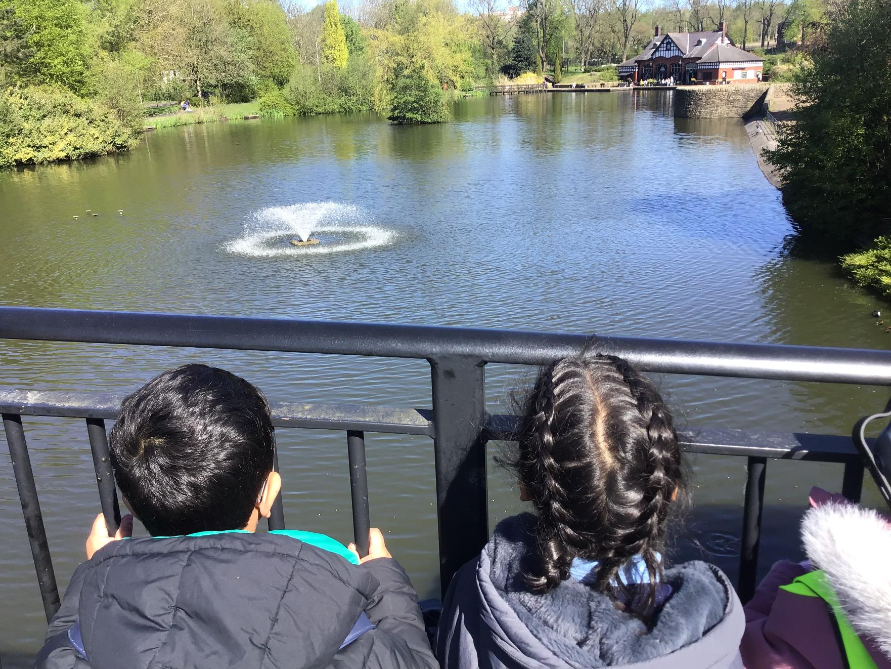
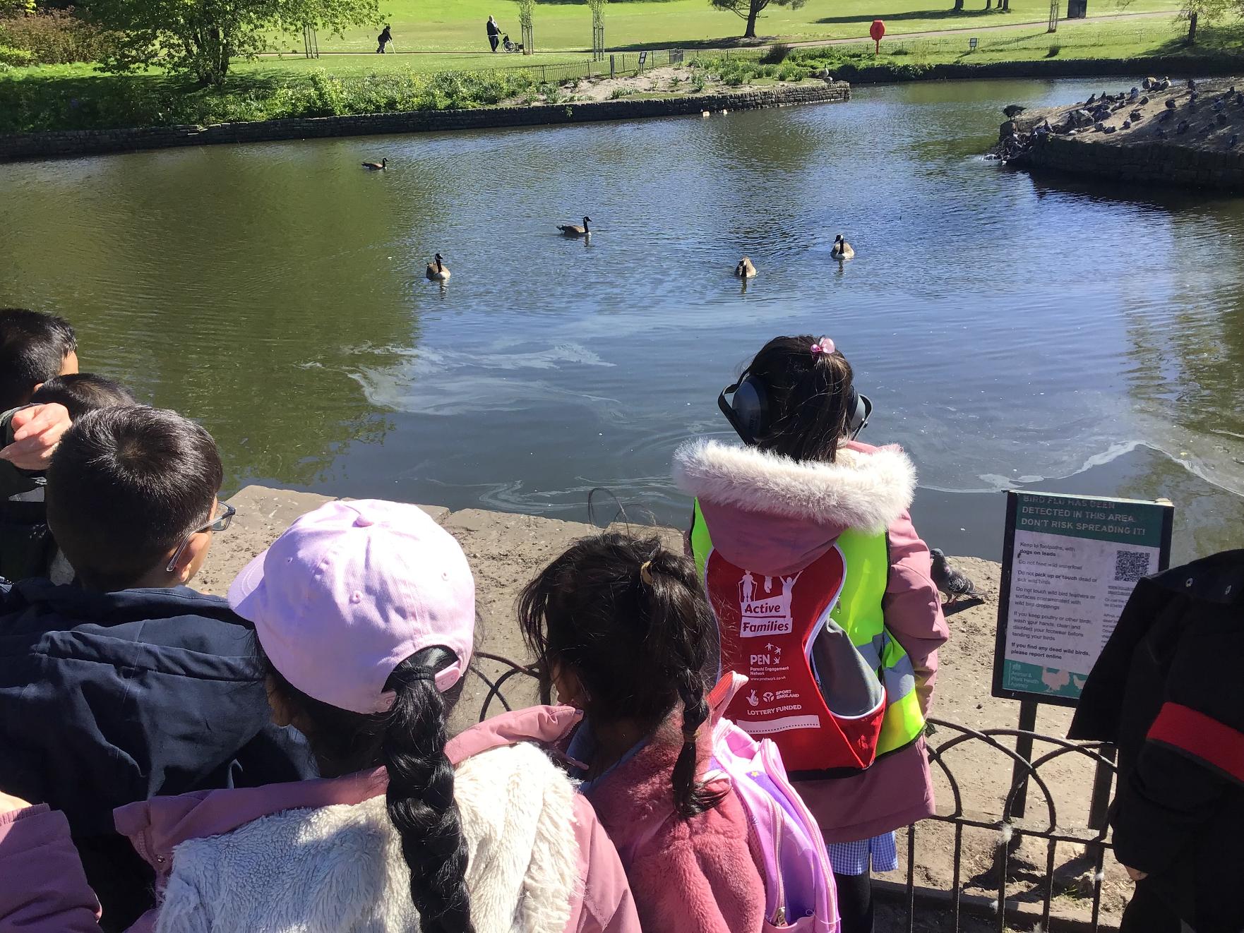
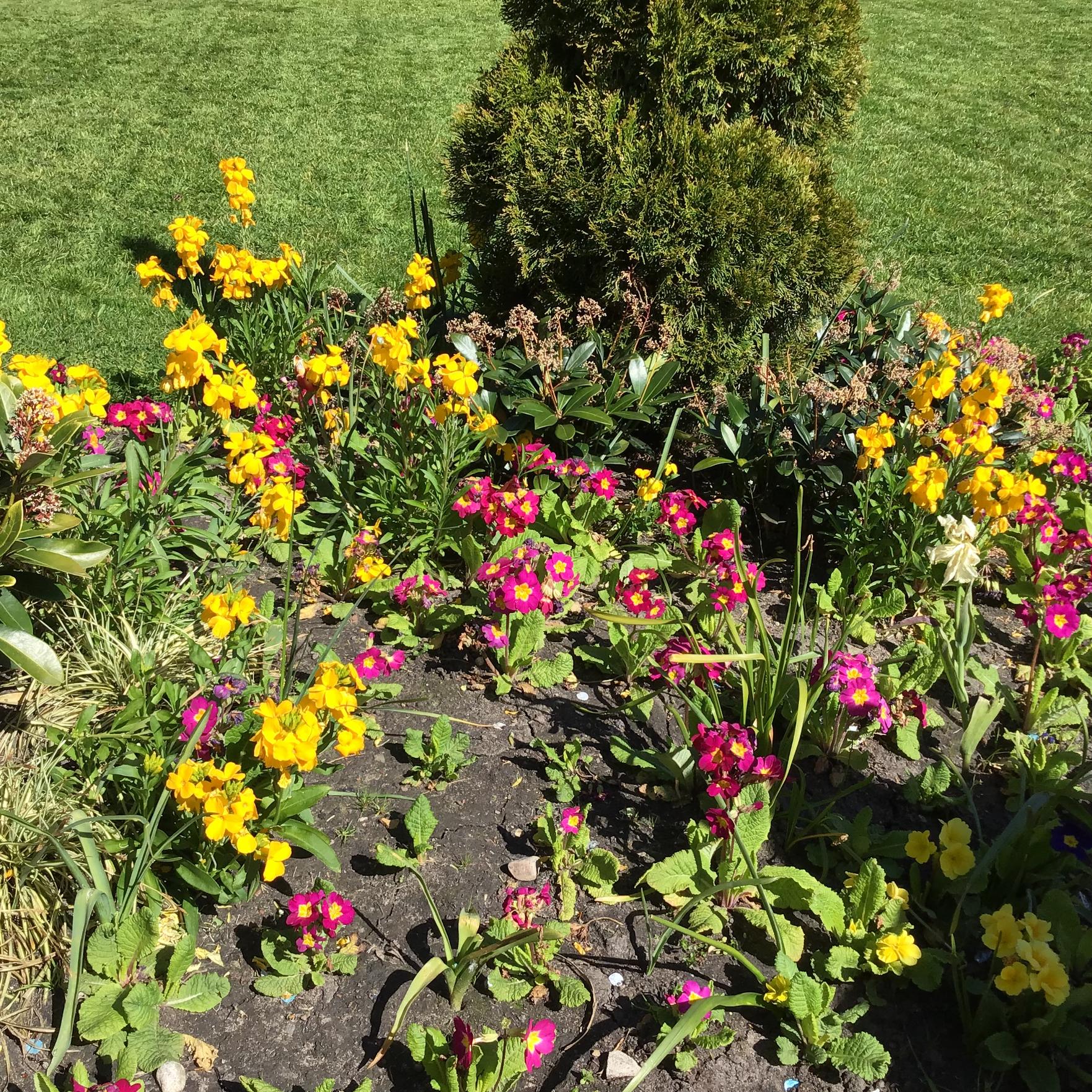
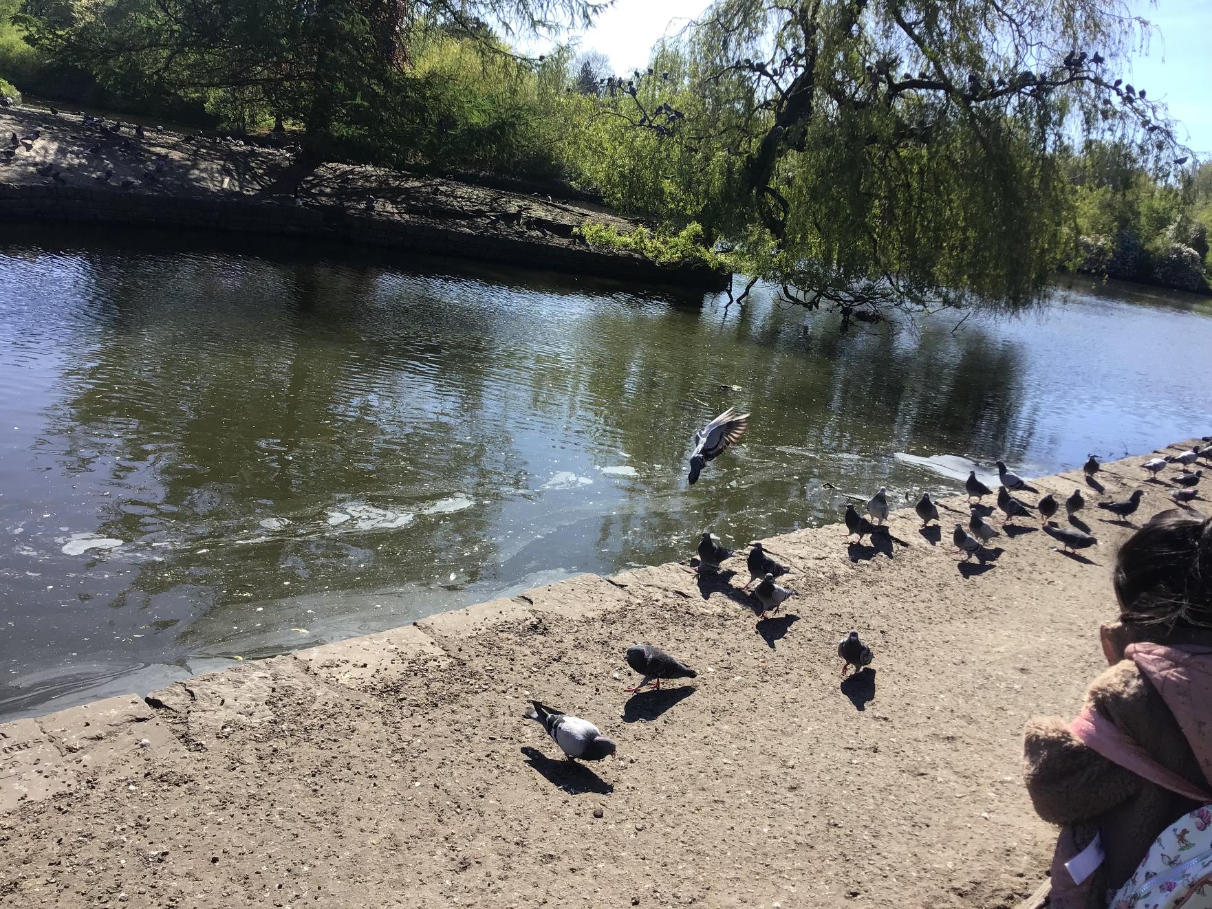
Badgers Class had a great time exploring Alexandra Park for their school trip! They completed a trail hunt along the way, answering questions through careful observations.



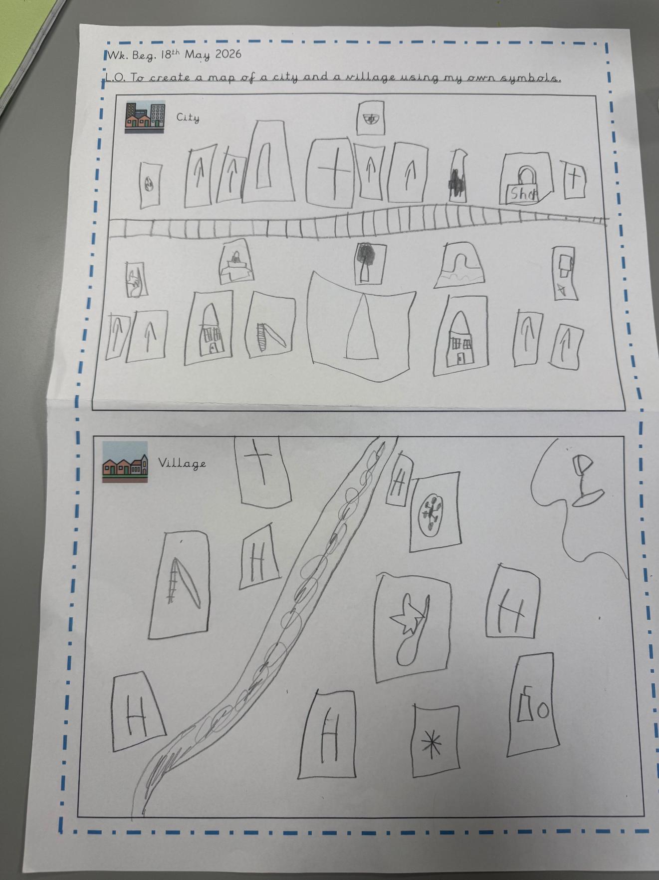
Year 1 ad 2: Villages and Cities - May 2026
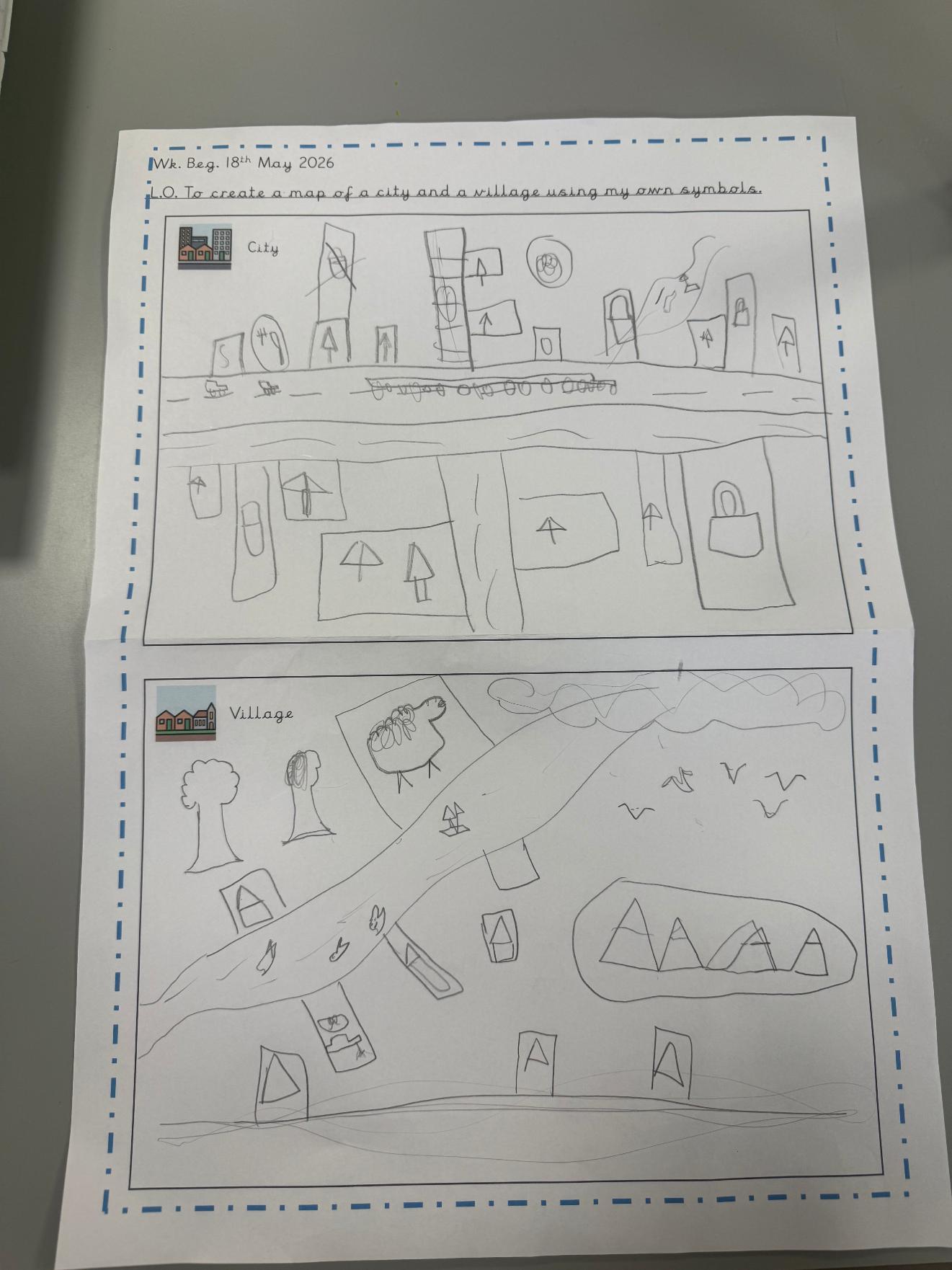
Owls class have been comparing the physical and human features of both villages and cities. We looked at different maps and created our own key for the different features. We have then produced our own maps of a village and a city. As you can see they look pretty incredible!
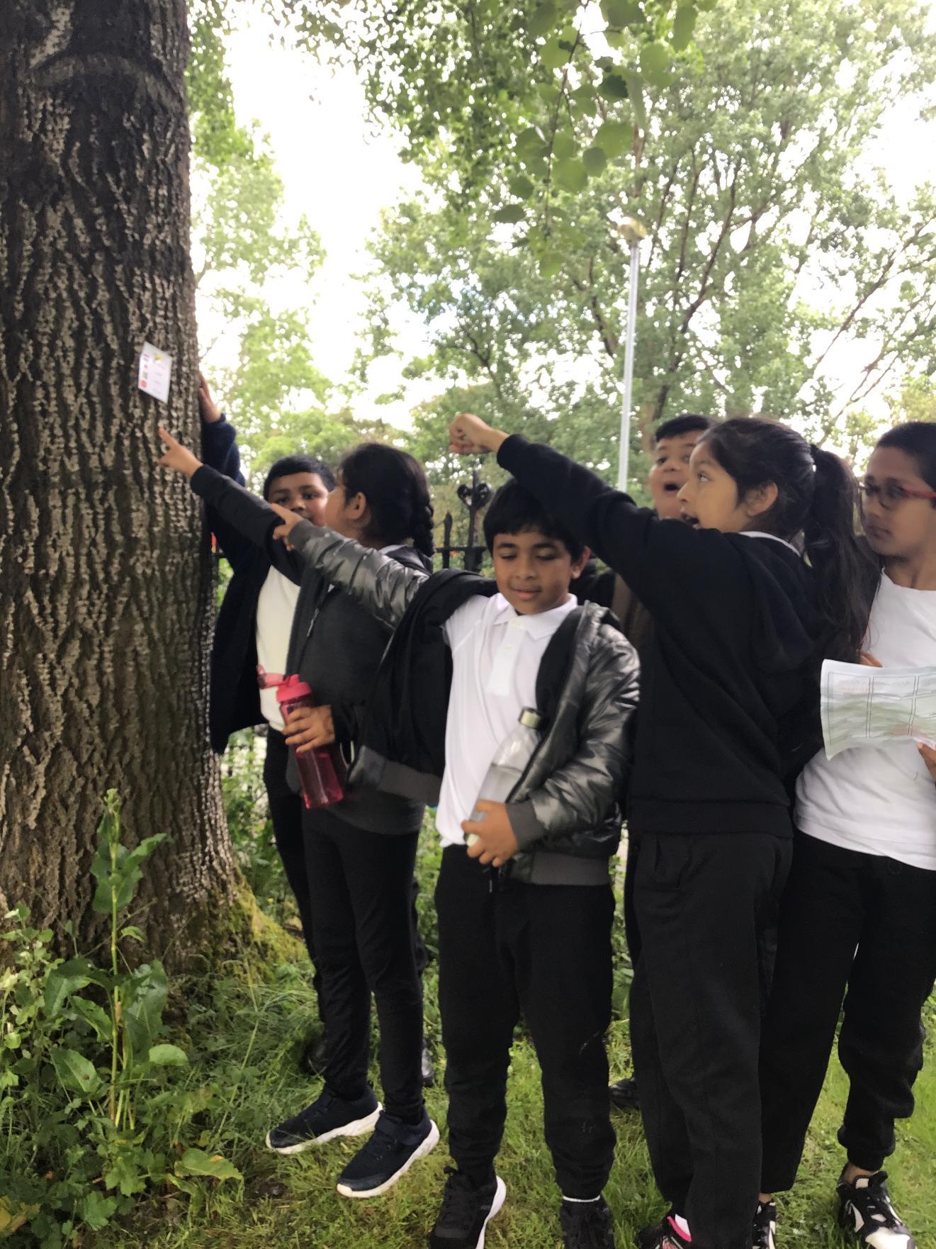
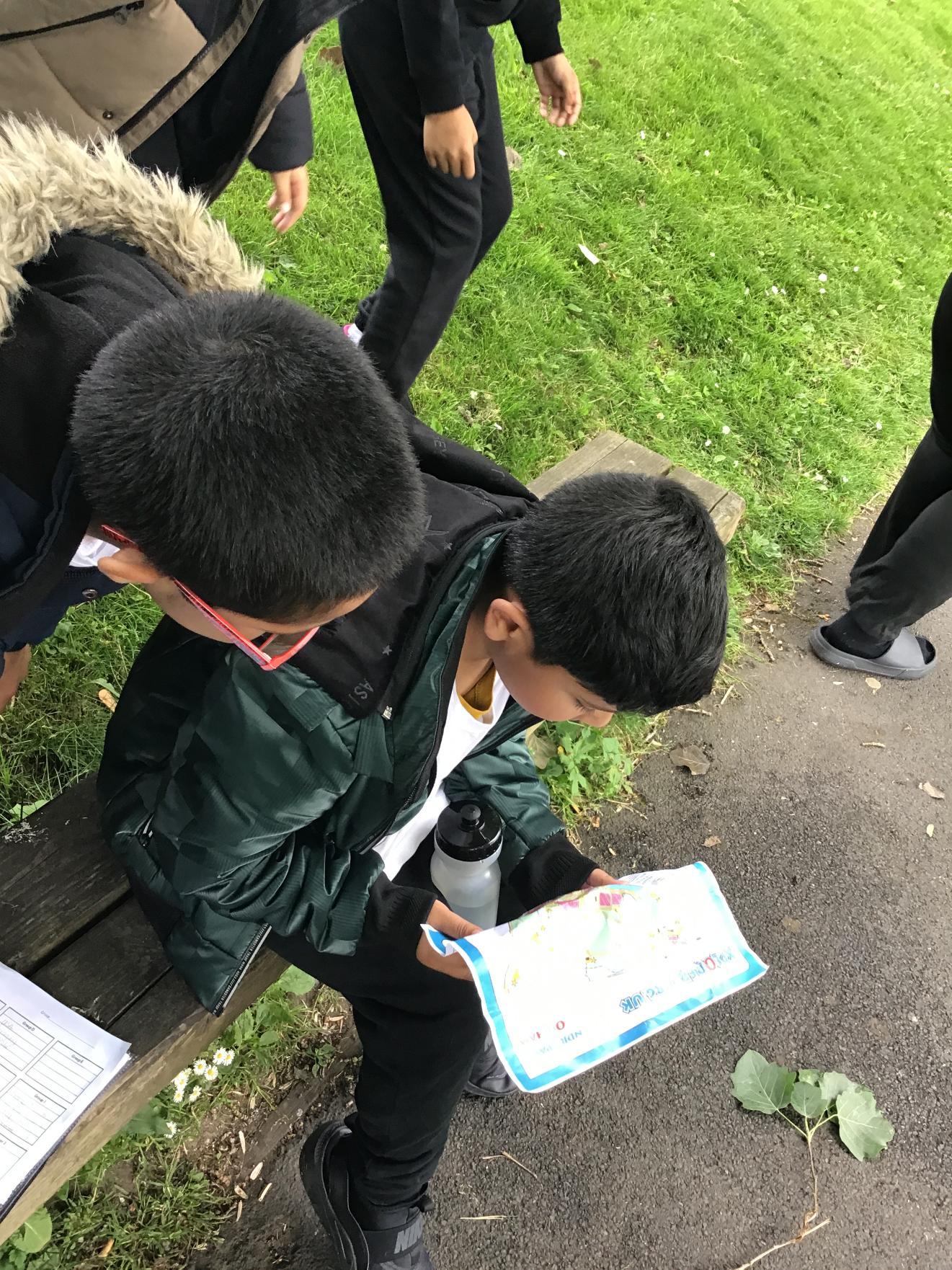
Year 3: Orienteering - June 2026
Year 3 went to Alexandra Park for an orienteering activity. We looked for clues about World Cup countries and their players.